NYSAPLS 60th Annual Conference January 28-30 Saratoga Springs

eSpatiallyNewYork had the opportunity to participate in the recent New York State Association of Professional Land Surveyors (NYSAPLS) annual conference in Saratoga Springs in late January.  In doing so, I was able to meet with numerous NYSAPLS members, including briefly with current NYSAPLS President Greg de Bruin, as well as several vendors in the exhibit hall.  Having run almost exclusively in the statewide GIS circle for the past 25+ years, and having really no reference point what to expect at the show – I was not disappointed.

The three-day conference brought together 704 registered attendees with the overall total reaching 775 when including 31 exhibitor representatives.  While I was almost certain to see components of the traditional surveying profession (i.e.,  leveling rods, measuring tapes, tripods, safety equipment/clothing, nails and spikes, monuments,  flagging and marking paints – the customary surveying equipment fare), I was pleasantly surprised to see in both the exhibit hall and throughout individual presentations evidence of the statewide surveying community investing in a variety of developing technologies such as laser scanning, drones, 3D, advanced GPS and photogrammetry, and an abundant number of emerging mobile and field programs.   Quite noticeably, surveying firms offering a broader range of geospatial products and services.   It was clear on the exhibit hall alone how the Empire State surveying community is embracing state-of-the-art geospatial technologies in 2019.

The exhibit hall at this year’s NYSAPLS conference offered an impressive line-up of vendors. The daily Strolling Lunch with Exhibitors engages attendees with the exhibitors.

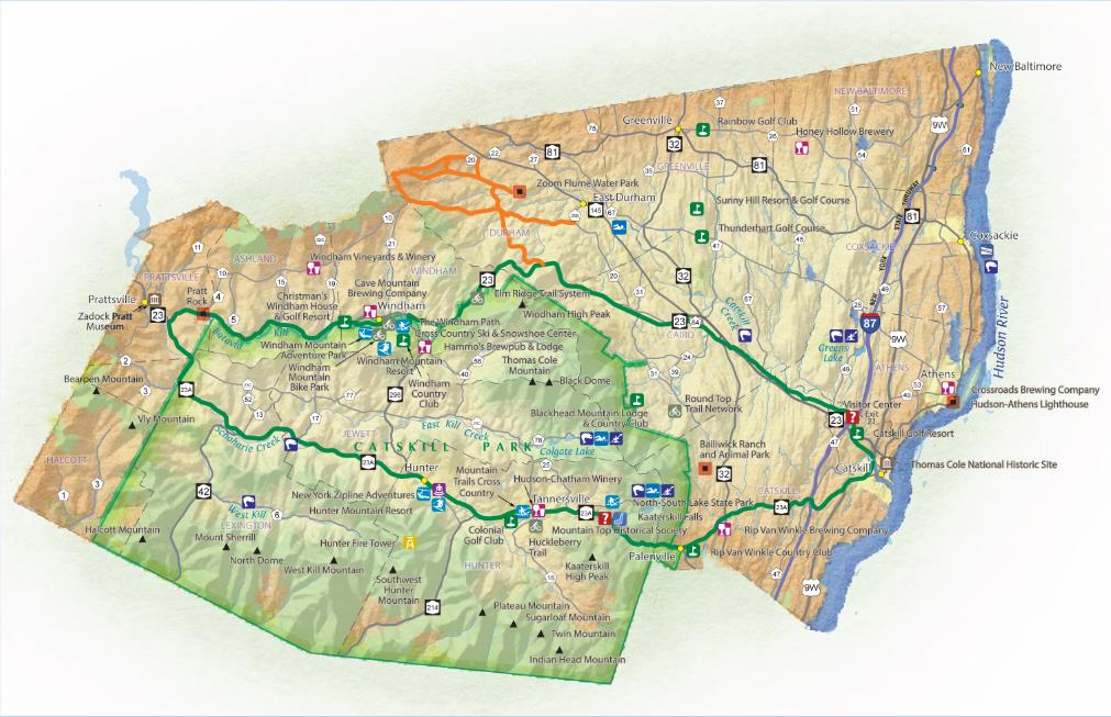
The conference offered a very diverse range of presentations, classes and workshops.  Of particular interest was to see presentations focusing on Building Information Modeling (BIM), 3D Building Rights and Air Rights, and several focusing on the drone/UAV.  Given the surveying profession’s important role in the development and maintenance of statewide tax maps, there were a number of sessions dedicated to the issues associated with land ownership including easements and right-of-ways, tying into and using historical documentation, tides and tidal datums, highway law, and even canal boundary retracement.  Though I was unable to attend, a class on stone walls focusing on their importance in land records and property boundary definition  was held.  Even a class on “Dendrology for Surveyors” class was included on the agenda. Of course there was a very visible presence of the field of photogrammetry which remains a staple throughout the profession, while new capabilities in the field of underground and subsurface mapping were also on display.  Making reference to the range of content at the conference, Ben Houston, Professional Engineer, Associate Member of NYSAPLS and NYS GIS Association Board Member commented  “This year’s NYSAPLS Conference offered a nice mix of training and social/networking opportunities. I was particularly impressed at the number and variety of professional services and geospatial data vendors in the exhibit hall.”

Of course there was ample time for mixers and social events at this year’s NYSAPLS conference. One of the Special Events at the show was the Field Olympics. Participants were able to compete against others in three events one of which was Tree Identification. Is that Ginkgo Biloba in #4? And here are the winners of this year’s map contest!

An important takeaway for me from the NYSAPLS conference was the focus on the business of surveying.  A geospatial profession largely dominated by private practice, business and industry, and enabling itself to create a presence in Albany.  As part of this presence, NYAPLS has recently created a Political Action Committee (PAC).  PACs are a type of political committee, once properly registered, which can engage in promoting candidates for election to public office that share the views, interests, and concerns of the land surveying community. This new committee is one of several active NYSAPLS groups working on issues such as standards and strategic planning.  Outreach and communication to the professional engineering communities and the State Board for engineering, land surveying, and geology remain priorities as well. (New York State professional surveyor accreditation and licensing is administered through the NYS Education Department Office of the Professions.)  “This year’s conference was outstanding”, notes current NYSAPLS President Greg de Bruin, “the facility, content, conference coordination were all first rate.”

For those involved in mapping technologies within the Empire State, it’s worth the time to visit the NYSAPLS website to see the many areas and programs this professional organization touches across the geospatial community.  There are a multitude of opportunities for collaboration.

Contact:

Amber Carpenter
amber@nysapls.org
518-432-4046

Greg de Bruin
gdebruin@gayrondebruin.com
516-805-4118

Wayfinding: Geospatial Goes Indoors with Connexient

As GIS and mapping technologies evolved through the later part of the 20th century focusing mainly on the physical(outdoor)  landscape, the digital mapping of the  built/interior environment continued to focus on the use of AutoCAD/Revit and related CAD technologies.  With exceptions, there were two definitive geographic mapping camps:  Geographic Information Systems (GIS) software vs. Computer Aided Design (CAD) software.   One or the other.  And with little integration of both.

As both technologies matured, integration between the two computing environments became more common and the lines of division blurred.  New technologies including, but not limited to Global Positioning Systems (GPS), Laser Scanning, Building Information Modeling (BIM), and drones, as well as advancements in 3D modeling and increased desktop and internet capacity aided to the continued integration of the software platforms. GIS and BIM Integration Will Transform Infrastructure Design and Construction is a very recent and quick read from Autodesk charting the path of this flourishing market.

Fast forward to 2018 and the evolution of indoor wayfinding which leverages many of the components of these same outdoor and indoor mapping concepts.   Based on a similar spatial data model, Wayfinding applications are now found in a wide range of public spaces, educational and industrial campuses, entertainment and athletic venues, buildings, and healthcare facilities.  Offering indoor maps for handheld mobile devices is becoming more and more common, as are digital information kiosk systems in office complex lobbies, and as part of web mapping applications. (It is often recognized that The Americans with Disabilities Act of 1990 (ADA) represented a milestone and was instrumental in helping to make spaces universally accessible and improving wayfinding for all individuals.)

Connexient

New York City-based Connexient was formed in June 2012 with the vision that indoor GPS and navigation will become as widespread inside as it is outside.

With over 60 licensed hospital client sites and a total square footage over 70 million square feet mapped, Connexient is a market leader in healthcare in providing  smart phone based turn-by-turn indoor navigation and all screens digital wayfinding solutions.   Leveraging significant breakthroughs in the ability to implement low cost, navigation quality indoor positioning, users can now expect the same kind of functionality –  intuitive, reliable and accurate maps, directions and turn-by-turn navigation which is commonly available from outdoor world mapping and navigational companies such as Google, Apple and Waze.    The same user experience can be available via a mobile app for any large, complex indoor facility or campus that they enter.  Today, these capabilities are highlighted in Connexient’s flagship product MediNavTM.

Selected MediNav functions include:

  • Multiple levels of zoom and detail
  • 5D visualization and 360 degrees of freedom of camera control
  • Detailed routing network and intelligent routing
  • Turn-by-turn instructions
  • Visual landmarks (signage) to provide locational reference
  • Visual and audio turn prompts
  • Off-route notification & route recalculation
  • “Balcony view” route visualization – what is coming next
  • 1 to 2 meter accuracy
  • Dynamic refresh of user position
  • Parking Planner, Find my Car and Meet Me
    Continue reading

Shared Services: Opportunities for Local Government GIS

More than a couple years ago, Linda Rockwood, who at the time was running Mohawk Valley GIS, mentioned to the NYS GIS community that she was at a local meet and greet with regional elected officials and mentioned the “GIS” word to one of NYS’s congressional representatives in attendance.  To her amazement – and dismay –  she found out the representative had a very limited awareness or understanding of GIS.

Linda’s encounter certainly wasn’t the first of its kind and I’m sure there have been numerous similar incidents in our respective corners of the state since then.  GISers gingerly starting a conversation on the broad benefits and applications of geospatial technology to government and elected officials – only to see the focus wander quickly. Maybe two or three minutes into the discussion when comparisons to Google Maps normally kick-in and/or there is eye contact with the next constituent and thinking moves to that conversation.

Unfortunately, the message – and the collective mission – seems to continue to get lost and there is recent anecdotal evidence to suggest there is still a long way to go in context of recognizing and embracing geospatial technology in NYS local governments (county, city, town, and village) as part of an increasingly important government program area:  Shared Services.

New York State Shared Services Program

Those working throughout the local government ranks should be on some level familiar with the shared services buzzword.  It’s the talk among government officials and for legitimately good reasons.  Look no further than Governor Cuomo’s commitment of $225 million in the FY 2019 Executive Budget to continue the County-Wide Shared Services Initiatives (CWSSI). The $225 serves as matching funds for a one-time match for actual and demonstrable first-year savings achieved by the Shared Services Panels through new actions implemented during calendar year 2018.  School districts, boards of cooperative services (BOCES), fire districts, fire protection districts, and special improvement districts have the option to participate as well.    The current shared services initiative augments the existing NYS Department of State Local Government Efficiency (LGe) Program – which by the way formerly known as the Shared Municipal Services Incentives program –  “provides technical assistance and competitive grants to local governments for the development of projects that will achieve savings and improve municipal efficiency through shared services, cooperative agreements, mergers, consolidations and dissolutions.”

New York State Shared Services Initiative web page

There are many recognized barriers to implementing shared services across NYS governments though as the concept evolves, governments continue to try and find ways to consolidate services in specific areas such as municipal justices, zoning and code enforcement, construction/building/maintenance inspections, and in the establishment of health care consortiums to name only a few.   That said, it’s worthy to note the limited number of GIS-centric shared services proposals submitted by both the New York State Association of Counties (NYSAC) and  New York Council of Mayors (NYCOM). Specifically:
Continue reading

Watershed Agricultural Council: Geospatial in Upstate NYC Watershed Lands

The New York City Watershed is the largest unfiltered surface water supply system in the United States. Every day this region in upstate New York’s Catskill Mountains provides more than a billion gallons of clean drinking water to the more than nine million people residing in New York City and upstate counties. The system includes 19 reservoirs, three controlled lakes, and a watershed that spans more than a million acres. In some cases, water travels more than a hundred miles to reach New York City.  While other large US cities typically own the land that drains into their reservoirs – New York City’s lands are unique:  Nearly 75 percent of the watershed lands are privately owned with NYC and the State of New York owning a mixture of the remaining lands.  Consequently, New York’s water quality depends in large part on the actions of the 30,000 landowners who live, work, and recreate on watershed lands.  Overall, nearly 70% of the watersheds are forested with the remaining lands in predominately agricultural use.

The Watershed Agricultural Council (WAC) is one of two primary watershed partners (Catskill Watershed Corporation being the other) locally-based not-for-profit corporations specifically created to assist New York City Department of Environmental Protection (NYCDEP) with the administration and implementation of watershed protection and economic development programs in its water supply lands. The WAC is involved primarily with natural resource and land conservation programs, whereas the Catskill Watershed Corporation primarily oversees community infrastructure and economic development programs. Many other watershed partners serve in various capacities, such as oversight, advice, public education, and communication.

WAC Geospatial

WAC GIS and geospatial applications are built to support four major program areas within the NYC watershed lands:  Forestry, Agriculture, Conservation Easements, and Economic Viability.    Managing these applications and infrastructure in their three offices [(Walton,  Hamden , and Yorktown (East of Hudson)]  is the responsibility of Nadine Trahan who joined WAC three years ago after having attended both undergraduate and graduate school in New Zealand.  Nadine developed and maintains a ESRI Geodatabase to support enterprise geospatial applications.  She notes wireless connectivity and high speed internet connectivity can be a “challenge” in the rural Catskills which plays into the deployment of the enterprise applications.  Given the connectivity issues, Nadine uses ArcGIS Portal to design and download applications to mobile devices for in-field deployment:  Data collected remotely is synchronized with the enterprise geodatabase when field devices are connected to the network upon return to the office.  She currently supports approximately 40 users involving everything from high-end client software apps to browser-based applications for the more casual user.  This later category of user being staff which use an internal web map to edit point locations of Pure Catskills members as part of the Economic Viability focus.
Continue reading

Retail Trade Geospatial Mapping and Analysis

There is no secret of the increasing use of GIS technology in the real estate industry due to the latter’s overwhelming interest and dependency on LOCATION.  For real estate professionals, location is always one of the determining factors influencing property value.  Geospatial technology provides the foundation for many common real estate tasks including  property research, market analysis, spatial analysis, matching tenants to available properties, plan market expansion and contraction, as well as staying abreast of changing consumer tastes and local demographics.  The expanding availability of business and marketplace datasets, online property (records) and land information systems, and more friendly and accessible enterprise web-based  geospatial software tools enables real estate firms building geospatial capacity to act more quickly than their competitors.

One Empire State firm which has embraced and is currently expanding it’s GIS infrastructure is the The Shopping Center Group (SCG).  A more focused group within the company is called SCG Retail which is located in Manhattan and concentrates on retail real estate properties in urban environments not specific to shopping centers.  It is in this office where primary SCG GIS resources are located providing geospatial support and guidance to other SCG offices in the United States.   Established in 1984, SCG is a retail-only real estate company providing advisory services to tenants, landlords, developers, investors and financial institutions.  With 22 offices from New York to Southern California, it is the largest commercial/retail-only real estate firm in the United States.

Sample SCG-Retail map of “targeted” neighborhoods in southern Westchester and Fairfield (CT) Counties. SCG-Retail uses ESRI’s Business Analyst to estimate the number of total employees who work within a defined area to generate a general idea of daytime population/employment hubs.  Rent ranges (Est. rent per square foot of retail space) is provided by brokers and business partners.

The SCG-Retail GIS operations are built on top of the ESRI GIS platform to conduct their industry leading mapping and demographic studies.  Connected offices utilize ArcGIS Server services, ArcGIS Online, and selected ArcGIS client programs.  In the Metro NYC region, SCG GIS staff utilize a variety of datasets as part of their market and site specific analysis including ESRI’s Business Analyst and Tapestry Segmentation products and in the a variety of public (Metropolitan Transportation Authority [train, bus, subway ridership], New York City [property/parcels, permits, bus ridership, etc]) and other commercially available real estate and consumer databases. Directing the SCG Retail geospatial efforts its New York City office is Will Parra who joined SCG Retail after working with Sanborn Mapping Company in Pelham, New York.

“SCG Retail’s use of GIS has grown significantly over the past 24-26 months” notes Parra, “it is used and integrated into all of our business decisions”.  Illustrative of SCG-Retail’s work is their recent 125th Street Corridor retail analysis in Harlem, New York – with the world famous Apollo Theater near the center of the study area.   To assess current and anticipated demographic changes in this area of Manhattan and how these trends will effect the potential retail trade landscape,  SCG-Retail GIS staff employed a variety of databases and mapping/analysis tools which enables staff to utilize custom designed GIS tools to establish potential consumer movement patterns in the study area during daytime and evening hours.  The resultant findings of their analysis, as highlighted in this StoryMap, identifies the 125th corridor, particularly the western end, as an excellent area for commercial retail growth and development.

Chase Welles, Partner, SCG Retail comments “Within the last 24-36 months, GIS technology has become an essential tool in working with clients and defining potential retail trade areas.  SCG Retail always had access to U.S. Census and demographic data, estimated consumer trade and drive-time zones, the ability to place potential consumers in defined locations at specific times of the day (AM/PM) via mobile device (smart phone) generated X,Ys  has been a game changer for us working in this space.  This mash-up of new consumer locational data with traditional Census, consumer spending patterns, and other GIS overlays is a very new, powerful, and emerging market analysis tool.”

When representing clients, a basic SCG-Retail map product is a radius map (typically .5 mile radius around a specific address) which provides a basic understanding of the demographics in a given designated trade area. Data is generated using ESRI Business Analyst Online.

Using data collected by mobile devices, The Shopping Center Group developed this map in ArcGIS Desktop to highlight the differences between where people who frequent Colonie Center in Albany, New York, live and where they work. This information is then used within Esri Business Analyst Online to uncover the slight variations in both the demographics and the psychographics of Colonie Center guests.

Learn More About SCG

SCG Retail GIS work has been featured in a February 2017 ArcNews article as well as in an ESRI Case Study YouTube video.  In 2016, The Shopping Center Group was also recognized at the annual ESRI User Group Conference with a Special Achievement In GIS (SAG) award.  Additional information and background on consumer research and analysis in the shopping center industry, visit the International Council of Shopping Centers (ICSC) website.

Contact Will Parra, SCG Retail, at wparra@scg-retail.com.

Geospatial Business Spotlight: MRB Group

Company Name:        MRB Group

 Locations:                    New York: Rochester, Syracuse, Elmira, Seneca Falls
                                       Texas: Austin, Temple

Website:                     www.mrbgroup.com

Employees:                55

Established:              1927

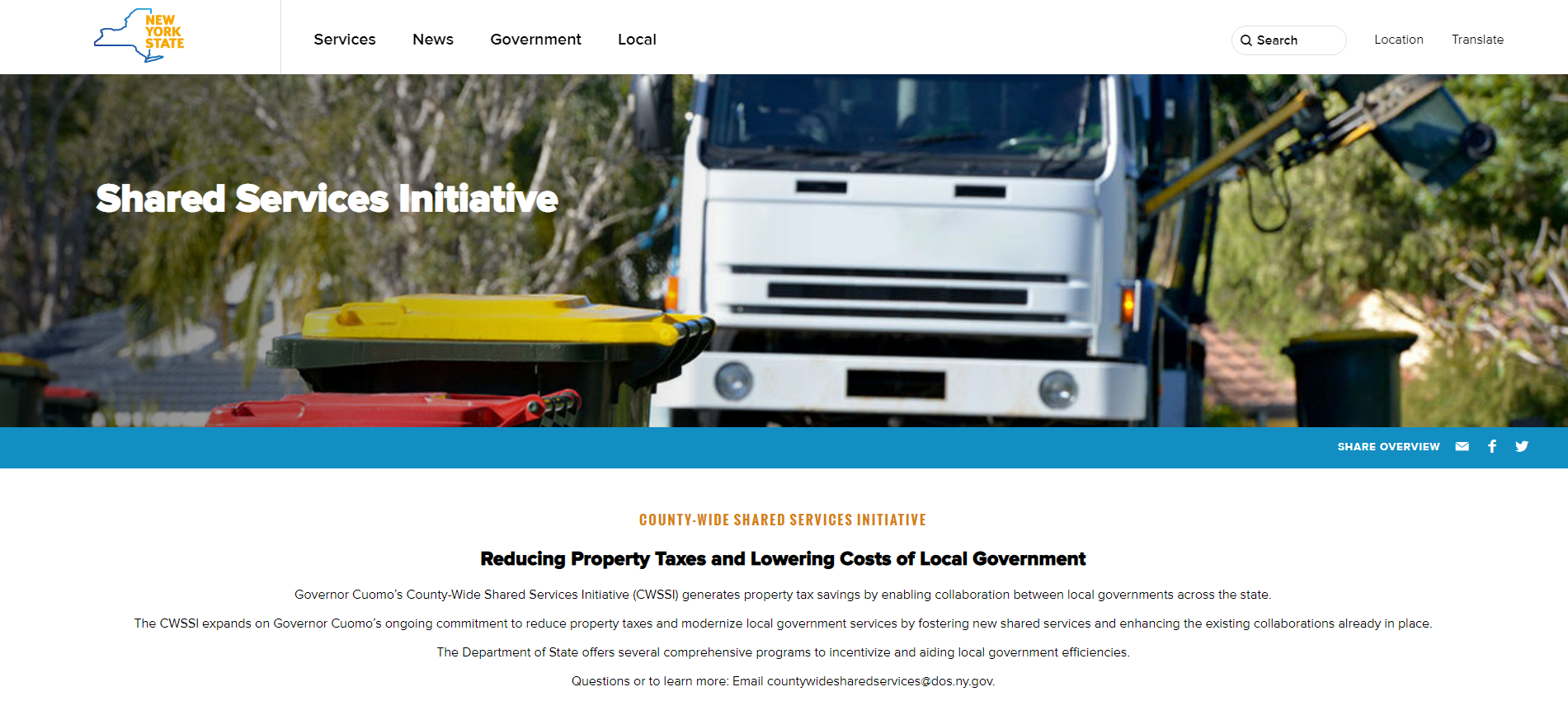
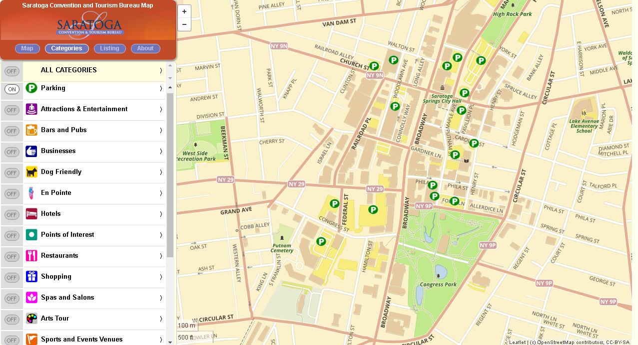
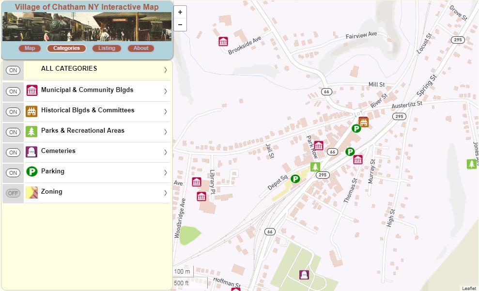
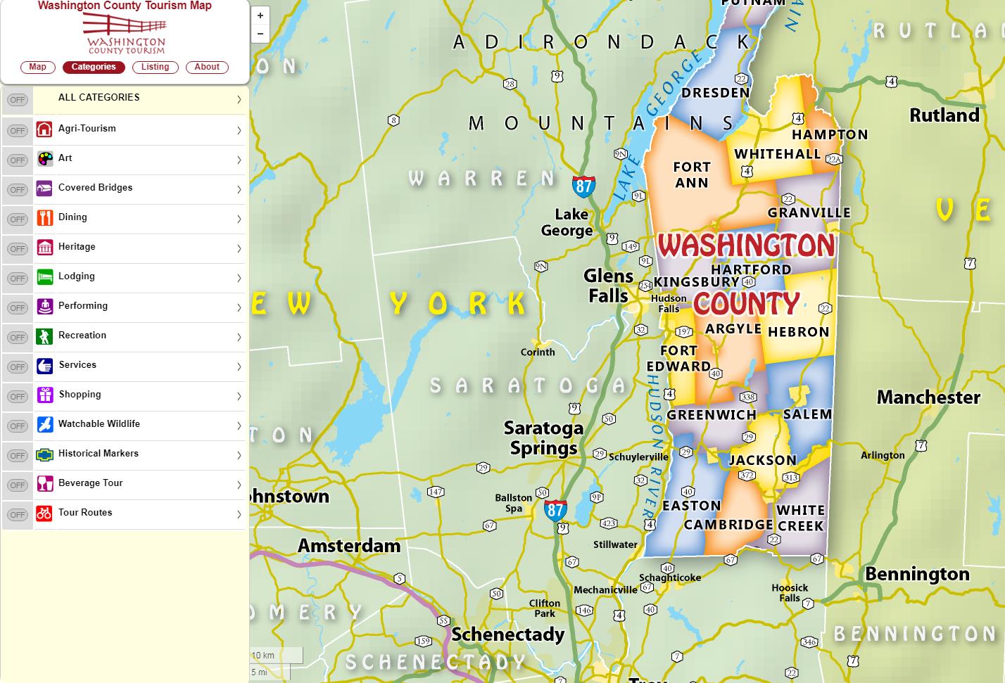
For many New York State local governments, GIS is not just a flashy map or application. It is a tool to manage vital records focusing on real property, development, and infrastructure.

MRB Group has been helping local governments implement GIS solutions for almost two decades.  Across the Empire State and learning from the experience in working with over 120 communities, MRB professional staff understand that the help of a GIS consultant can often be the difference between GIS becoming an indispensable management and decision-making tool versus a burden on staff.

The GIS team at MRB Group works alongside in-house engineers, architects, and planners to turn completed utility construction projects into permanent records in an enterprise and sustainable GIS program.   Once automated, local government managers can track the age, maintenance, and condition of utility infrastructure assets. Recent geospatial focus has been assisting local governments in leveraging smart device (phone) technology and expanding mobile GIS applications.  Municipal workers achieve a high level of efficiency when given the ability to view utility and assets on these devices and create/track inspections and work history in the field or in the office.   Additional MRB Group geospatial services include, tax map maintenance, ArcGIS.com account administration, contracted GIS support services, pavement management, EPA Municipal Separate Storm Water Systems (MS4) compliance, fire department pre-plan mapping, comprehensive plan mapping, and integration of survey GPS, 3D laser scanning, and unmanned aerial vehicle (UAV) and drone technologies.

Products and Services

City of Auburn

The City of Auburn is using the ArcGIS Collector app on Apple iPads to send multiple crews in the field for annual inspection and testing of 1,200 fire hydrants. The Fire Chief uses a desktop map viewer built with ArcGIS Web AppBuilder to monitor the status of field crews. When each inspection is finished, the hydrant symbol changes color on the map to indicate to all crews and the Fire Chief of its completion. (Figures 1 & 2).

Figure 1:  MRB ArcGIS Collector apps support fire hydrant inspection in City of Aubur

Figure 2:  Auburn fire hydrant inspections being conducted by fire department personnel.

Village of Avon

The Village of Avon is using the ArcGIS Collector app on mobile devices to actively mark and track the location of water pipe leaks and breaks. Over time, this will provide village officials with critical information to spot trends and to plan for necessary capital project improvements. The application also enables staff to enter notes about the repairs completed and attach pictures (Figure 3).

Figure 3: Village of Avon uses a MRB mobile app to assist in managing water system infrastructure assets.

Town of Ontario

The Town of Ontario was an early adopter of mobile GIS technology for managing its MS4 storm outfall inspections. Since 2013, the town has used the ArcGIS Collector app to visit each of the Town’s outfalls to monitor for illicit discharges, verify structural condition, and note maintenance requirements (Figure 4).

Figure 4:  The Town of Ontario deploys MRB developed apps to support MS4 regulatory programs.

Town of Penfield

Having seen significant growth in recent years, the Town of Penfield contracted with MRB to build a web and mobile-friendly application which would provide a public-facing GIS viewer for residents, businesses, and developers. The viewer includes information relating to zoning districts, agricultural districts, environmental protection areas, and purchased development rights, among other spatial datasets (Figure 5).

Figure 5: MRB develops apps for publishing geospatial data for the general public, business, and developers

Town of Canandaigua

The Town of Canandaigua is in the process of completing a Parks and Recreation Master Plan. An ESRI Story Map template was selected to create a GIS map of all the parks and recreation opportunities in the City and Town of Canandaigua. The application enables residents to click on points of interest on the map, see facility information, and generate driving directions.

MRB web apps create easy-to-use web viewers for identifying local government parks and recreation facilities

Summary

With a principal focus on municipal services, MRB Group provides local governments with professional engineering support for day-to-day operations focusing on water and wastewater treatment, and public works services. The GIS team at MRB Group is committed to creating solutions to help implement modern mapping technology into an understandable and useful tool for municipal workers across the Empire State.

For more information on MRB Group geospatial products and services:

Contact:
                             
Daniel Allen, GISP
MRB Group
585-381-9250
dallen@mrbgroup.com


Geospatial Business Spotlight: Topographics, LLC

Company Name:                              Topographics, LLC

Location:                                          Saratoga Springs, New York

Website:                                           www.topographics.org

Number of Employees:                   3

Established:                                    2016

Topographics  provides maps and mapping solutions for a wide variety of clients throughout New York and the United States. Evolved from JIMAPCO, Inc, a long time and well recognized New York State based cartographic and mapping company, the Topographics cartographic team has over 100 years of combined experience providing printed maps, digital files, and most recently interactive mapping applications.  Their client portfolio includes a variety of municipalities, chambers of commerce, educational, religious, and medical organizations, as well as a vast assortment of business clients across the Empire State.

Products and Services

Hardcopy

Using their expertise in graphics and print production, Topographics provides printed folded maps, laminated wall and tourism maps, atlas books, and other hard-copy products for hundreds of customers. Hardcopy products are published using Adobe Illustrator. Selected New York State examples include:

Data obtained from the New York State GIS Clearinghouse provided the foundation to create this statewide elevation model map for a major upstate university.

Product for Adworkshop, which does marketing and communications for Greene County and other organizations in the Catskills.

A section of the Town of Islip (Long Island) hardcopy map. The map contains OpenSource content (OpenStreetMap), features obtained from Suffolk County GIS, and other data sources.

Additionally, Paul Hein, one of the principals at Topographics has an impressive personal portfolio of cartographic products available for viewing and purchase at www.fineartamerica.com. This is a map of the Finger Lakes Region showing elevation contours and shaded relief. Each contour interval is colored with a different shade presenting the area as an abstract map. Take a look.

Online and Mobile

Beyond hard-copy, Topographics  provides digital files used for tourism promotion, sales and marketing, realty operations, way-finding, and business development, among others. Their online maps are interactive applications displaying information ranging from business locations to recreational trails. They most often implement the Leaflet or OpenLayers open source JavaScript libraries and make use of Mapbox and Mapzen services for the styling of OpenStreetMap and custom data as well as providing geocoding and directions. Other platforms include Avenza Web Author and the Google Maps and MapQuest API.  Ilustrative examples include:

This is one of my favorites: The Roman Catholic Diocese of Albany interactive map showing facilities and services within the Diocese. The application includes hundreds of Diocese related facilities and properties which can be turned off/on with the Categories button.

The Saratoga Convention and Tourism Bureau interactive map presents hundreds of visitor resources and opportunities for those in the city or planning a visit. Using our mobile-friendly technology, users can see their current location, locate nearby resources, see walking and biking trails, and find recreational resources.

The following examples are interactive maps for both the Washington County Tourism and the Village of Chatham (Columbia County).  Click on either image to be rerouted to the actual online map viewer.

The Topographics Crown Maple Farm (Dutchess County) map below is available as a hardcopy map and also runs on the Avenza Mobile Map App so it can be “used on the trail” with a smartphone.  User’s can also record their track (their movement) including elevation. User’s can also plot points on the map and assign attributes to the points, including photos. For the Crown Maple Map, Topographics had the owner of the property actually walk the trails using a preliminary map they created for the app to capture histracks. The owner emailed the X,Y’s back to Topographics to be incorporated into the final product. Topographics has created similar maps for other clients all over the world using the Avenza app.

Summary

Far from just a traditional hardcopy cartographic mapping company, Topographics uses and combines many industry leading Open Source software components in producing and publishing their products and services to their clients.   Be informative and nice to see Topographics presenting at future New York State GIS events and conferences.

For more information on Topographics, LLC products and services:

Contact:                        Paul Hein
                                      Topographics, LLC
                                       info@topographics.org
                                       518-428-6638


GPS Telematics for Fleet and Mobile Workforce Management

Several of my posts over past 18 months have focused on a core set of applications which I have seen evolve over the past three decades that serve as the cornerstones for many New York State local and county government geospatial programs.  Increasingly and central to many of these geospatial program areas is the “mobile” component albeit much of the attention to date has been on “field/handheld” hardware and software components for both spatial data collection and updates.

Increasingly  it is becoming recognized  another mobile collection technology can add value to  an organization’s work force and business systems productivity.  Originally referred to as Automated Vehicle Locator (AVL) systems, this technology got its start decades ago focusing on the capture (mapping) of a vehicle’s location and display in a GIS or similar digital mapping system. These early systems were expensive and not widely used outside of business and industry.

Over the last five or more years,  fleet managers have increasingly adopted “AVL” technology to assist in the management of  fleet assets especially with availability of lower cost hardware components which connect  to vehicle On Board Diagnostic (OBD) ports.  This capability supports fleet managers with a wide range of metrics  providing  odometer/mileage readings, engine idling, vehicle usage and a variety of other vehicle related information.  Now recognized as “GPS Telematics”, this technology has become more affordable and accessible to a larger range of government agencies and organizations.  This modern use of the technology centers around the use of M2M (machine to machine) and telematics technologies.

Benefits of GPS Telematics

To date, much of the work focusing on capturing and analyzing data associated with field resources has been done the “old way”, i.e., capturing and recording the data by human fingers.  Historically, this method is fraught with inconsistencies. Machine-to-machine (M2M) data capture on average is far more accurate and consistent.

Fleet telematics monitor the location, movement, status and behavior of a vehicle and associated field resources.  This is achieved through a combination of the  GPS telematics device which is installed in each vehicle transmitting  location based data via wireless networks to web servers for near real time availability.  Users access location, movement and status information and metrics of vehicles via special web-based software applications or through existing in-house “vehicle tracking enabled”  business applications.  In essence, GPS telematics systems become platforms to collection and transport valuable mobile resource field information and activities.  In addition to locational data,  fleet telematics solutions provide the status of each vehicle and by extension the corresponding crew an inference of  ongoing work accomplishments and assignments to field resources.  Managers know how each vehicle is being used as well as mileage, idling status, location and speed.  Such systems can be extended to be connected to onboard systems and sensors which log activities such as street sweeping, plowing, spreading, and spraying – workflows which are particularly challenging to capture and document by hand during the normal course of business.  While Return-on-Investments (ROI) can and will vary greatly, calculating the benefits of investing in fleet telematics technology can now be  based on factual metrics such as improved routing and dispatching, reducing labor costs, improved fuel and vehicle usage, and newer more cost-effective system architecture (Cloud). Continue reading

Geospatial Business Spotlight: The CEDRA Corporation

Company Name:         The CEDRA Corportation

Location:                     1600 Mosley Road, Suite 500, Victor, NY  14564

Website:                      http://www.cedra.com

Employees:                 12

Established:               1985

The CEDRA Corporation offers GIS based software for mapping, civil engineering design and modeling, surveying and database maintenance applications. CEDRA’s AVseriesTM suite of software operates directly within Esri’s GIS software (ArcGIS® 9.x and 10.x), thus eliminating the need to switch back and forth between various software packages. CEDRA software is developed entirely in-house and marketed worldwide to public works agencies, tax assessors, utilities, municipalities and private sector companies.

Complementing CEDRA’s Software Development Division is CEDRA’s Professional Services Division which has performed consulting projects throughout the U.S. and specializes in developing, populating and maintaining GIS databases.   CEDRA’s Professional Services Division offers consulting services to clients for a multitude of applications including CEDRA-specific software solutions or can be totally non-CEDRA software related consulting projects. CEDRA staff is highly proficient in GIS Analysis, Data Capture, Data Conversion, Map Production, Routing and Custom Application Development in toth the desktop and server environments.  As an authorized Esri business partner and reseller, CEDRA has a long history in the use and application of Esri’s GIS suite of software dating back to 1987.

CEDRA’s corporate mission is to provide services and software that improves the efficiency and productiveness of its clients. This goal is achieved by (a) developing software that is production oriented and (b) offering services that enable clients to streamline workflows. CEDRA believes the more automated a workflow can be made, the more efficient a client will be and a higher quality product will be produced. CEDRA offers Expertise, Experience and Commitment when undertaking a project.

Illustrative CEDRA products and services include:

Wayne County E911, Lyons, New York

Under this project CEDRA assisted Wayne County staff in developing the County’s E911 street database. Specifically, the work involved acquiring the NYS Street Address Mapping (SAM) data, extracting the street data for Wayne County, and working with the County in verifying and updating the street center line database for use in the County’s E911 system.

In performing this work, CEDRA staff was on-site at the County’s office performing the work and training County staff in the process. A workflow was developed and adopted by the County. Additionally, a training guide was developed enabling County staff to maintain the street center line data with their own resources. Continue reading

2017 NYS Spring GIS Conference Specials

The last couple weeks I’ve been engaged in the following cutting-edge enterprise geospatial issues:  (1) staring at the sky on a daily basis,  (2) monitoring the temperature, and (3)  hoping the remaining snow to melt and the leaves to hold off in budding – both at the same time.  After nearly 33 years in County government and its boiled down to this! Why?  So we can get our aerial photography flown over the next 10-days to support our 2017 countywide base map update.  The heavy snow March 14th really set us back and the window to capture the photography is closing quickly.

So at any rate, its been easy to lose track of upcoming Spring 2017 regional one-day GIS conferences and meetings over the next 4-6 weeks.  Most of the Spring 2017 shows are held in locations accessible via a maximum 2-4 hour drive from furthermost parts of the Empire State, offer a wide range of geospatial topics and presentations, provide excellent networking opportunities among colleagues and industry representatives, and are generally light on the wallet.    For those unable to make or justify the big lift of getting to the uber ESRI conference in San Diego later on in the summer and/or chasing GISP certification credits these venues are for you.

Sounds sweet, right? So consider the following and get your travel approvals in order:

GIS-SIG 26rd Annual Conference, April 11th, Burgundy Basin, Pittsford, NY.  Unfortunately I cannot make GIS-SIG this year as it is one of my most favorite statewide one-day shows.  GIS/SIG provides the premier geospatial professional forum in the Rochester/Genesee Finger Lakes/Western New York region for GIS practitioners focusing on trends and policies relating to new geospatial technologies and current projects.  With a loyal following, the size and content of the GIS/SIG conference is broad enough to often substitute as an annual state conference for many GIS practitioners in the western half of the state. This year’s conference again includes vendor displays and an agenda covering topics such as mobile data collection, drones, 3D GIS, and ESRI software updates, as well as a keynote address from Dr. John R. Schott, founder of the Digital Imaging and Remote Sensing Lab at the Rochester Institute of Technology (RIT).  Corporate sponsorship keeps the price tag of an individual registration at under $100 for the day which also includes lunch. Online registration is still available and while you are at the GIS/SIG website you can also see the many resources and links GIS/SIG provides to its user community.  This is a great show and if you have the opportunity to attend. Highly recommended.

Long Island GIS (LIGIS)  2017 Spring User Conference, April 26th, SUNY Farmingdale, Farmingdale, NY.  LIGIS meetings and conferences have grown in structure and content over the last few years and this spring’s April 26th meeting will continue to illustrate the improvement among the Long Island GIS stakeholder user community.  Scheduled presentations from government, academia, and industry are on the agenda including topics covering mobile applications, MS4 data collection, 2020 Census Bureau update, and GIS & hydrofracking among others. Located in central Long Island on the SUNY Farmingdale campus, this is a not-to-miss conference on “the Island” for those with limited travel budgets.  Make plans to attend.  Those interested in attending can monitor conference specifics at the LIGIS homepage.

Northeast Arc User Group (NEARC) Meeting, May 15th, University of Massachusetts, Amherst, MA.  Spring NEARC meetings are conveniently located in Amherst, MA which is easily accessible to the Albany Capital District and GIS professionals in eastern New York State.  Unlike GIS – SIG, which is software vendor independent, this show is very much ESRI centric and packed with high quality user presentations. Even though only one day, the show has grown to be so popular that it now competes with the larger multi-day GIS shows and conferences across New England.   Price tag for attending:  $65 which includes lunch.  If you can afford an overnight, activities the evening before downtown Amherst and a hotel room at the UMass conference center make it even more worth your while. (As of the day of this blog post 4/4 the May 15th agenda was still in development; I did submit an abstract!).  Registration will open mid-April.  If your organization is an ESRI shop – this is a Spring show not to miss.

Westchester GIS User Group Meeting, May 11th, Purchase College, Purchase New York. As one of the largest geospatial meetings in New York State, the Westchester GIS User Group Meeting is a free one-day conference held at Purchase College. Made possible by financial support from exhibiting vendors and conference facilities provided by the college, the draft 2017 agenda  features user presentations from County government,  Westchester County municipalities, nonprofits including the Goodlands Project, and ESRI. There is also free conference training: At lunch “Leveraging Suvey123 for Mobile Data Collection” with instructor Larry Spraker and post-conference “Getting Started with How to Build Great Web Apps” with ESRI’s Mark Scott.   Also, sponsors get to present 5-minute “Lightning” talks over the course of the day.  The Purchase College location provides easy one-day access across the metropolitan NYC area, as well as the broader lower Hudson River Valley and southeastern Connecticut. Agenda and other meeting  specifics – including registration – are available from the Westchester County GIS website.

Other Venues:  If you are in the Metro NYC area don’t forget to check the GeoNYC Meetup calendar for ongoing meetings across the city. Subject matter and participation is pretty amazing.  And/or the many other geospatial related Meetups in the region covering big data, data visualization, agriculture mapping, and everything inbetween including drones. A little further removed geographically from the Empire State is the Northeast Geographic Information Society (NEGIS) conference on April 27th in Ashland, MA. You can follow and learn more about NEGIS via their blog.

The entire Empire State GIS community is fortunate enough to be close enough to a range of regional geospatial meetings and conferences which are accessible from most areas of the state and provide many of the same benefits of larger shows and not nearly as expensive.

Safe travels!