I first wanted to publish this article initially as a wish list to the GIS Santa Claus in early December, but the holidays came and went so I am now submitting it as a New Year’s wish list (Part 1) for the 2017 GeoCon in Lake Placid. There will be other suggestions over the next several months and I’ll remain cognizant what I wish for as I may be submitting an abstract to present myself. Maybe.
So to start the discussion, here is an initial list of ten geospatial mapping applications and program areas I’d like to send a speaker invite to for the 2017 GeoCon – and why.
NYS Office of the Attorney General: New York Crime Gun Analysis https://targettrafficking.ag.ny.gov/tool/
While mapping continues to be one of the primary end products of GIS analysis, geospatial data is increasingly being used in a wide range of data visualization platforms such as Tableau. I’d welcome the opportunity to attend a presentation by the Office of the Attorney on the Crime Gun Analysis report outlining data collection, data analysis, and the rendering of the data through maps, tables, and charts. Not the normal GIS menu.
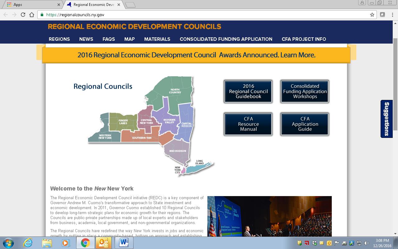
 New York State Regional Economic Development Councils (REDC) http://regionalcouncils.ny.gov/
In context of geospatial, this program reference isn’t so much about “what it is”, as opposed to more about “what it isn’t”. Or at least I think. From my level, the REDC framework has always been somewhat of a mystery since current state administration created the 10 Regional Councils in 2011. And even more confusing that the geography of the REDCs do not coincide with the statewide Regional Planning Commission boundaries. That said, there is an incredible amount of geospatial information and analysis in the Council’s underlying mission. Everything happens somewhere. And there is a ton of money coming through the Consolidated Funding Application (CFA) process which I believe the GIS community should be more engaged and recipients of to some degree. Uber opportunities for web mapping applications, Story Maps, and GIS-produced maps for publications though one would be hard pressed to see any real evidence of a professional GIS touch in any of the Council products and services. I looked through four regional 2016 “progress” reports (Hudson Valley, Finger Lakes, Capital Region and Southern Tier and found very limited reference to GIS/geospatial technologies. Some kind of presentation by one of the REDCs and/or regional GIS personnel involved in this program would be most informative for the statewide GIS community. Otherwise I doubt we’re going to hear anything through the state GIS program office on this.
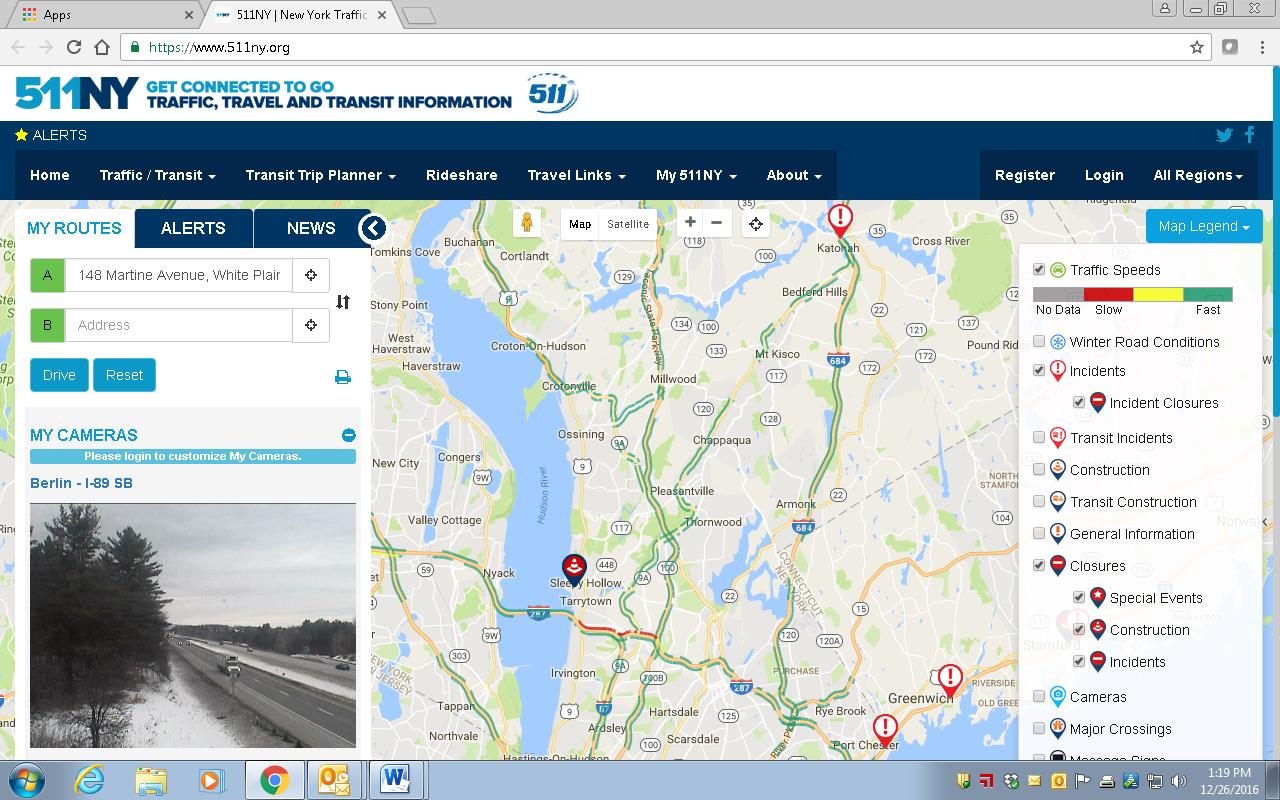
511NY
https://www.511ny.org/
This is more of a selfish request than anything because I really don’t fully understand the makings and how 511NY operates in context of GIS/geospatial data collection, sources, work flows, or even development of their applications including the online mapping stuff. I do know it’s big, visible, seemingly growing in functionality, supported by a mess of New York State transportation agencies -even though it has its own .org web address. It also creates a lot of data which would be useful to consume and use in local government web mapping applications. I’d be the first one to sign up to hear how it all comes together, funding, sources of the data (including what is being taken from and/or generated at the local level), opportunities for collaboration with local GIS programs, and what’s next. How long before we see an Uber icon on the 511NY homepage to help support trip planning?