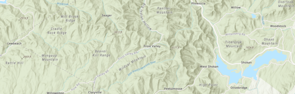

Version 1.0 of the NYSEG field data collection is designed to collect basic locational information on road closures, utility pole issues, and related tree conditions information. This image highlights data collection in a pilot project in southeastern New York State.