
More than a couple years ago, Linda Rockwood, who at the time was running Mohawk Valley GIS, mentioned to the NYS GIS community that she was at a local meet and greet with regional elected officials and mentioned the “GIS” word to one of NYS’s congressional representatives in attendance. To her amazement – and dismay – she found out the representative had a very limited awareness or understanding of GIS.
Linda’s encounter certainly wasn’t the first of its kind and I’m sure there have been numerous similar incidents in our respective corners of the state since then. GISers gingerly starting a conversation on the broad benefits and applications of geospatial technology to government and elected officials – only to see the focus wander quickly. Maybe two or three minutes into the discussion when comparisons to Google Maps normally kick-in and/or there is eye contact with the next constituent and thinking moves to that conversation.
Unfortunately, the message – and the collective mission – seems to continue to get lost and there is recent anecdotal evidence to suggest there is still a long way to go in context of recognizing and embracing geospatial technology in NYS local governments (county, city, town, and village) as part of an increasingly important government program area: Shared Services.
New York State Shared Services Program
Those working throughout the local government ranks should be on some level familiar with the shared services buzzword. It’s the talk among government officials and for legitimately good reasons. Look no further than Governor Cuomo’s commitment of $225 million in the FY 2019 Executive Budget to continue the County-Wide Shared Services Initiatives (CWSSI). The $225 serves as matching funds for a one-time match for actual and demonstrable first-year savings achieved by the Shared Services Panels through new actions implemented during calendar year 2018. School districts, boards of cooperative services (BOCES), fire districts, fire protection districts, and special improvement districts have the option to participate as well. The current shared services initiative augments the existing NYS Department of State Local Government Efficiency (LGe) Program – which by the way formerly known as the Shared Municipal Services Incentives program – “provides technical assistance and competitive grants to local governments for the development of projects that will achieve savings and improve municipal efficiency through shared services, cooperative agreements, mergers, consolidations and dissolutions.”
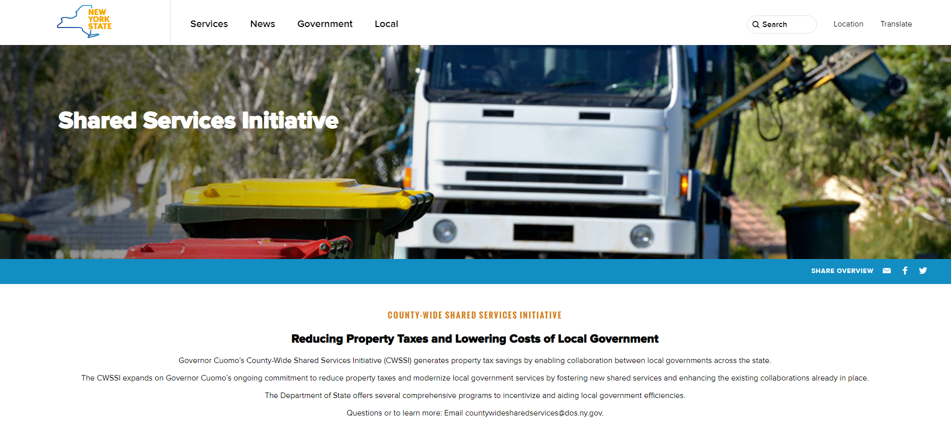
New York State Shared Services Initiative web page
There are many recognized barriers to implementing shared services across NYS governments though as the concept evolves, governments continue to try and find ways to consolidate services in specific areas such as municipal justices, zoning and code enforcement, construction/building/maintenance inspections, and in the establishment of health care consortiums to name only a few. That said, it’s worthy to note the limited number of GIS-centric shared services proposals submitted by both the New York State Association of Counties (NYSAC) and New York Council of Mayors (NYCOM). Specifically:
NYSAC: In between all of the existing and new proposals – there are only four specific references to GIS as per the proposals itemized on the NYSAC web page. Existing Shared Services Proposals (17 Counties submitting): One county (Dutchess) referencing GIS as a potential Shared Service. New Shared Services Proposals (38 Counties submitting): Three counties (Cattaraugus, Stuben, and Greene) referencing GIS as a potential Shared Service
(Note: As it relates to NYS budget years, specific dates of the County proposals (existing and new) is difficult to establish; the more important reference is to the limited number of GIS proposals).
NYCOM: The numbers are even bleaker when looking at the NYCOM city/village shared services proposal. Keyword searches on this 81-page document resulted in three hits for “GIS”, zero for “geospatial” and two for “mapping”. Granted, similar to the county shared services proposals, many of the services in the NYCOM list considered for consolidation inherently include the use of maps and (zoning, code enforcement, water systems, public works, etc) but recognition of GIS/geospatial technology separately is almost nonexistent.

New York State Association of Counties Shared Services web page
Towns are enveloped into their County proposals as outlined in this June 2018 New York State Association of Towns shared service presentation.
So What’s Missing?
One could argue that one of the main reasons there are such limited proposals for GIS as an itemized shared service across local governments is that there are simply few reliable metrics upon which to point to and make a business case for consolidation. There are isolated examples of shared services initiatives in western New York with the Development Authority of the North Country (DANC) shared regional GIS and Niagara County GIS web applications being hosted by Erie County. The Erie/Niagara initiative is over a decade old in its development and the DANC concept is already 6+ years in the making. The point being that while both of these initiatives have served their customers well, there has not been a noticeable expansion of the “models” to other areas of the state. Both initiatives got started through a LGe program grant. Albeit different in other ways, the Dutchess County GIS program could be thrown into this discussion as well. Here in Westchester County GIS we’ve had a very successful program working with local governments, police and fire departments, and on occasion school districts over the past two decades albeit it has never been designated as an official shared services program. Only now are we taking steps to institutionalize and designate the effort as such. There may be other Empire State multi-government GIS programs built around the shared services “model” that are more organic in nature and have evolved without the use of state grant funding. The bottom line, there is just not a lot of data that can be used to justify consolidations.
Another issue is the technology itself. It’s only been in recent years that server-side technology has fallen into place to support GIS as a shared service in a multi-government environment. Heavy client software architecture had no hope of fostering and supporting these programs and while we have seen a steady increase of public facing county level web mapping applications across the state, these same server environments would have to be re-engineered to support multi-user (and multi-domain) environments. Concurrently, the other component pieces are starting to come together as well: smartphones/field devices, cloud resources, feature services, security protocols – more or less GIS-as-a-Service. If a government is publishing a web mapping application, the capabilities to publish necessary services/web content to support business functions across multiple agencies is not that far away. For that matter, another direction or architecture might be to eliminate the government hosting site altogether and simply use a vendor/contractor hosted solution of which there are numerous advantages.
Of course, such a paradigm shift in delivering local government sponsored geospatial services will not happen without some kind of discussion with software vendors. Such a new architecture changes the commercial software licensing equation, especially for the organization hosting and publishing the services and serving as the “hub” for the shared service. The upside is that there should be visible and quantifiable costs savings in reducing client software, related hardware, additional third party components, technical support and maintenance costs across all the agencies involved in the “shared service.” Additional cost savings can potentially be realized by standardizing on system components such as field/mobile devices as well as reducing the number of overall consultant support contracts. Many of the same benefits/costs will be realized with a vendor hosted solution as well. Open Source solutions can be considered, too.
A perfect example of a one-size fits all local government multiI-agency business need which has geospatial written all over it is the numbing NYS Dept. of Environmental Conservation Municipal Separate Storm Sewer System (MS4) program. Governments of all shapes and sizes across the state largely doing the same thing – within reason – collecting the same X,Y, and complying to the same regulatory program. Nearly all of which is geospatial in nature. In fact, many of the inspection-related shared services itemized in the initial NYSAC and NYCOM lists noted above (zoning, code enforcement, environmental, maintenance, health, etc) are all conceptually similar to the MS4 workflow. This same concept was discussed in much greater detail in a March 2016 eSpatiallyNewYork post: Local Government Geospatial Common Core Part 2: Work Orders, Permitting, and Inspections.
Summary
While it may unrealistic to ever see GIS/geospatial technology broadly recognized as an itemized shared service, it nonetheless should be promoted by local government GIS advocates as a significant enabler of the shared services model. Considered and advanced equally by utilizing either in-house government resources or with vendor turnkey solutions. This latter option clearly a direction smaller and mid-sized government are aggressively considering by moving IT resources offsite and engaging enterprise Cloud solutions. Either way the end product is the same: Consolidating and sharing services. With the right message in the right forum, like-minded partners can come together to integrate and highlight geospatial technologies across a broad spectrum of government services and program areas. Opponents will argue that the needs of many governments are too phenomenally different to prevent a uniform solution. But in reality, many of the business applications and regulatory needs of New York State local governments are conceptually very very similar. My experience is that new generation, local budget-conscious government leaders are more than willing to listen and think out-of-the-box.
May the discussions with elected officials and administrators begin and GIS take center stage as a major part of the NYS government Shared Services initiative.