Agriculture is important to New York State’s economy, and takes place in almost every region of the State as nearly one-quarter of New York’s total land area is utilized as farmland. There are a plethora of statistics which document the vastness of the agriculture industry across the Empire State: An annual economic impact of over $42 billion, over 36,000 farms, 1.5 million head of cattle, 40,000 acres of apple trees, $25 million worth of maple syrup and 14.9 billion pounds of milk. And #1 in the nation in the production of over 700 million pounds of yogurt. The list goes on.
It’s refreshing to see this important statewide industry begin to intersect with geospatial in a more expanded and robust means. The movement began to see traction a little over three years ago with the New York Precision Agriculture Workshop held in Geneva, NY in December 2015. The goal of the workshop was to help assess the use and development of precision agriculture in New York State and was held after a directive from the New York State Legislature instructing the Commissioner of Agriculture and Markets to “issue a report assessing the use and development of precision agriculture in the state with recommendations pertaining to rural broadband accessibility, use and support for the farmer, as well as cost savings and higher crop yield.” Over 50 individuals from the New York agricultural community were in attendance representing higher education, research, agronomic business, farmers, technology, government and more.
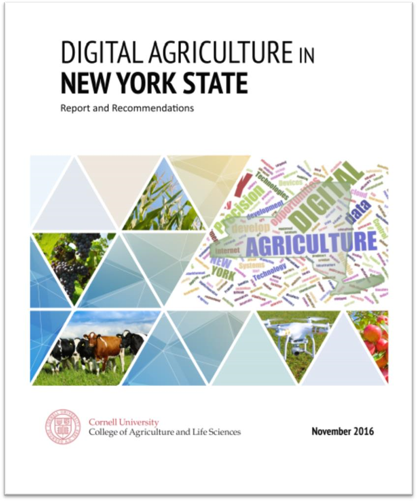
Nearly a year later in November 2016, the 151-page Digital Agriculture in New York State: Report and Recommendations was published through Cornell University College of Agriculture and Life Sciences. One of the primary recommendations which was ultimately established was the Cornell Initiative for Digital Agriculture (CIDA). Recently, CIDA hosted its inaugural Digital Ag Workshop October 9, 2018 on the Cornell University campus. The event was titled “Transforming Agriculture and Food Systems” and was attended by 200 individuals. The Workshop included a wide range of presentations and resulted in the establishment of four interdisciplinary Digital Agriculture (DA) Working Groups: Rapid Phenotyping, Socioeconomic Analysis for Digital Agriculture, Weather, Climate and Agriculture, and The Software-defined Farm. It will be interesting to see how CIDA evolves in its outreach, research, and building partnerships with government and industry. Cornell University was rated one of the Top 25 Best Colleges for Precision Agriculture in the United States. For those interested in following the program, upcoming events and webinars, sign-up for updates and e-News from this CIDA webpage.
Other signs of growth in the statewide Digital Agriculture (also often referred to as “Precision Agriculture”) space augmenting CIDA’s mission includes a recent ESRI press release announcing Ag-Analytics which is part of their Emerging Partner Startup Program. Ag-Analytics offers a platform with tools that make utilizing farm data easier than ever. Built around the Software-as-a-Solution (SaaS) framework, Ag-Analytics offers farmers the ability to better manage and visualize their production records to make informed decisions when it comes to understanding risk. As farm equipment manufacturers become larger and prominent players in the Digital/Precision Agriculture development, it is no surprise that the Ag-Analytics program is integrated with the John Deere Operations Center. Faculty from the Charles H. Dyson School of Applied Economics and Management at Cornell University are involved with the Ag-Analytics program. We also saw in 2018, DropCopter, an agricultural technology startup funded through the GeniusNY drone incubator in Syracuse, which managed to pollinate apple orchards in Lafayette, New York using their hexacopter drone. The recent decline of bee populations has raised pollination prices significantly, creating a market for alternative technologies such as Dropcopter. Evolving in other areas, we would anticipate seeing government program areas such New York State Agriculture and Markets and/or the New York office of the USDA Natural Resources Conservation Service (NRCS) begin to build some level of digital/precision agriculture capacity as well.
On a related note at the federal level is the passage of the Precision Agriculture Connectivity Act of 2018. With the focus of the bill to “identify and measure current gaps in the availability of broadband Internet access service on agricultural land”, the bill assigns responsibility to the USDA and FCC to “develop policy recommendations to promote the rapid, expanded deployment of fixed and mobile broadband Internet access service on unserved agricultural land, with a goal of achieving reliable capabilities on 95% of agricultural land in the United States by 2025”. Kudos to the National Society of Professional Surveyors (NSPS) working to successfully amend language in the original bill to ensure that members of the task force assembled to make recommendations include “representatives with relevant expertise in broadband network data collection, geospatial analysis, and coverage mapping”.
No doubt, exciting developments for the agriculture industry across the Empire State and great opportunities for the geospatial community to contribute and be part of.