
NY Locations: 787 Old Sergeant Palmateer Way, Wappingers Falls NY
2634 James Street, Syracuse NY
Website: www.mainetechnical.com
Employees: 18
Established: 1973

The Company:
Maine Technical Source (MTS) sells, services, and supports high-end instrumentation for the geospatial industry as well as the surveying, engineering, and construction sectors throughout New England. New York State offices are located at 787 Old Sergeant Palmateer Way in Wappingers Falls, & 2634 James Street in Syracuse.
Gus MacDonald started the company over 45 years ago and more than half of the MTS employees have been with the company for more than fifteen years. In June 2017, Stuart MacDonald purchased the company with a commitment to continuing the legacy of meeting customer needs. Maine Technical Source employees are singularly focused on providing exemplary customer service.
MTS is a member of the New York State Association of Professional Land Surveyors (NYSAPLS).
Products and Technology:
MTS provides a wide range of traditional industry products as well as state-of-the-art components now available in emerging and laser scanning technologies. A complete listing of products can be found as part of the MTS online catalog.
Illustrative products common to the geospatial, BIM and AEC applications include:
Field Mapping
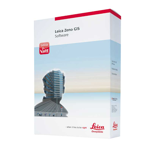
Leica Zeno Mobile is a complete tool for high accuracy field data capture with the simplicity of an Android app. Managing assets has never been easier via it’s intuitive user interface and functionality. Users can export collected data to the PC as shape files, ASCII or KMZ, either in classic way via cable, USB or using the cloud with Dropbox. The app also comes pre-loaded with aerial imagery. Learn more about Leica Zeno GIS technology via online training videos here.
UAV Solutions
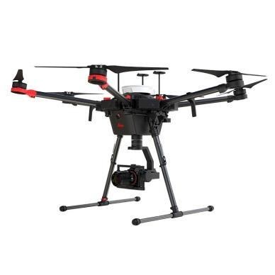
MTS offers complete UAV solutions for the surveying, mapping and construction industries enabling fast and flexible data collection. Systems capture, process and analyze millions of data points depicting highly accurate spatial information of the natural and built environment. One of MTS’s more popular drone solutions is the DJI Phantom 4 RTK which is one the most compact and accurate low altitude mapping UAV devices.
The Leica Aibot SX focuses on UAV data capture in the surveying geomapping, and asset disciplines enabling users to create orthophotos, point clouds, and 3D models for cadastral survey and data collection. Leica Aibot CX focuses on UAV data capture in the construction industry providing up-to-date views over construction projects and earthmovings. It also opens opportunities for daily progress documentation, stockpile monitoring and resource tracking to increase efficiency.
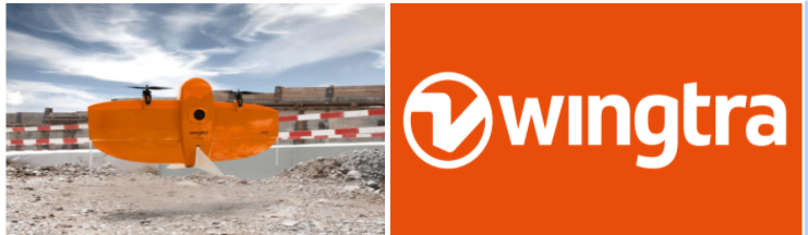
WingtraOne Gen II is a vertical take-off and landing (VTOL) sUAS for mapping of small and large areas. It utilizes a high resolution Sony DSLR camera platform and post-processing kinematic(PPK) to provide precise geotagging of the images. As a VTOL drone it can take off and land like a quad-copter and then transition into level flight as a fixed wing. With the high-resolution camera it can fly missions higher and faster than a quadcopter with outstanding ground sampling distance (GSD) results.
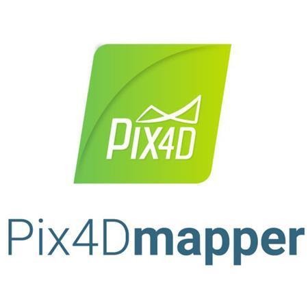
MTS is a Pix4Dmapper reseller which is the the leading photogrammetry software for professional drone mapping. Users can capture RGB, thermal, or multispectral images with any camera. Pix4Dmapper’s photogrammetry algorithms transform ground or aerial images in digital maps and 3D models.
Field Tablets
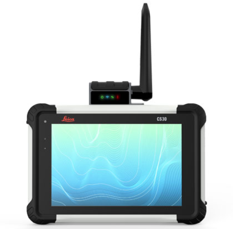
Leica CS30 Data Collector is the best of both worlds – light weight (1.67 lbs) and compact yet with a screen size (7”) big enough for use all day long. Equipped with an LCD IPS screen to provide an optimal color clarity, as well as a much improved and increased viewing angle. The unit also has an ambient light sensor for improved visibility in all lighting conditions. Portable to fit into a field bag or typical pickup truck glove box. Other similar devices MTS offers include the Carlson RT4 and the Sokkia SHC6000.
Laser Scanners
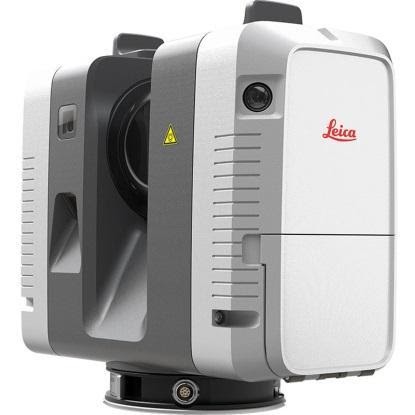
MTS focuses on providing and supporting Leica Systems laser scanning technology including the new highly portable RTC360. Intuitive and designed for maximum productivity, this unit efficiently combines the RTC360 high-performance 3D laser scanner, a Leica Cyclone FIELD 360 mobile-device app or automatically registering scans in real time, and the Leica Cyclone REGISTER 360 office software. Depending on the specific application area of use, MTS also offers HDS software for integration into the AutoCAD, Revit, and MicroStation platforms among others. Here is a RTC360 video.
For a complete listing of all MTS products, visit their website.
Contact:
Stuart MacDonald, President smacdonald@mainetechnical.com
Bill Treadwell, GIS Sales btreadwell@mainetechnical.com
Brad Beeler, Wappingers Falls brad.beeler@mainetechnical.com
David Filipski, Syracuse dfilipski@mainetechnical.com