Company Name: LaBella Associates
Location: Rochester, New York
Website: www.labellapc.com
Employees: 2,100
Established: 1978
The Company
 As a nationally recognized Design Professional Corporation, LaBella is built on the belief that the most important results come from creating true creating partnerships between teams and clients. One team unified in the pursuit of exceptional performance on every project driven by reliability, accountability, collaboration, and respect.
Since it inception in 1978, the pursuit of partnership has been embedded in LaBella’s culture shaping client outcomes in significant ways. This foundation enables the firm to expertly execute projects from start to finish. LaBella has the technical expertise and resources to take on any challenge and ensure projects are completed on time, on budget, and beyond expectations.
Headquartered in Rochester, New York, LaBella is home to approximately 2,100 multi-disciplinary consultants who plan, design, engineer, and manage public and private projects enriching local communities. The company’s expertise is recognized in infrastructure, buildings, environmental, and energy projects throughout the eastern United States, the United Kingdom, and Spain.
Software and Capabilities
Today, LaBella offers a wide range of geospatial services, including:
GIS Enterprise System Administration
1. GIS needs assessments, strategic planning, and implementation
2. System development and planning
3. Staff training and augmentation
4. GIS Administrative support
5. Ad hoc GIS support
Geospatial Analysis and Data Visualization
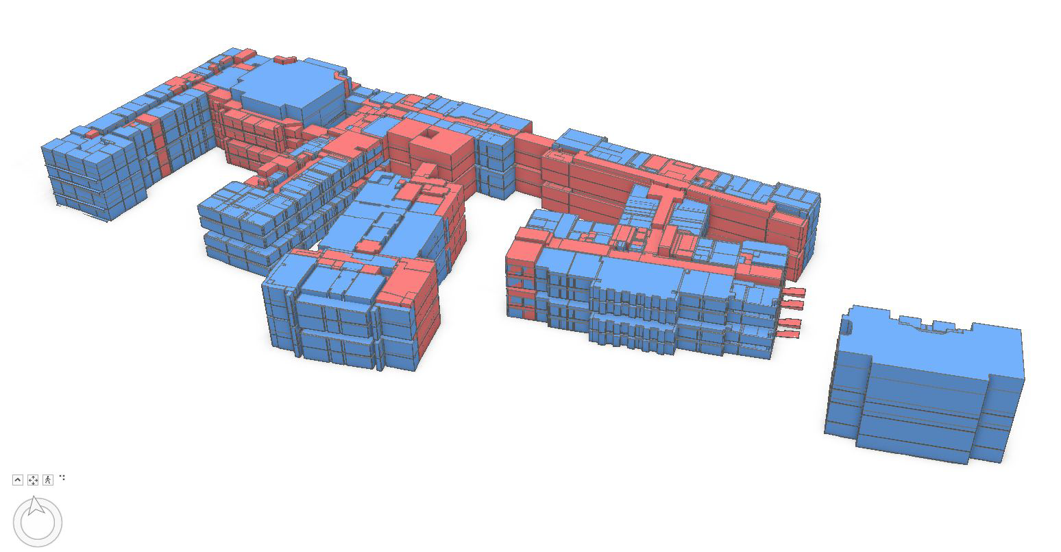
1. 3D modeling
2. Viewshed Analysis and photo simulation development
3. Advanced geospatial analysis and Geospatial Artificial Intelligence (GeoAI)
4. Map creation and cartographic design
Data Management
1. Spatial Data Development, maintenance, and updates
2. Data conversion and formatting
3. ArcGIS Utility Network migration planning and implementation
4. Mobile Data collection
5. Geodatabase design and development
Application Development
1. Web GIS solutions (ArcGIS Online)
2. Custom desktop GIS application development
3. Mobile data collection tools and solutions
4. Dashboard development
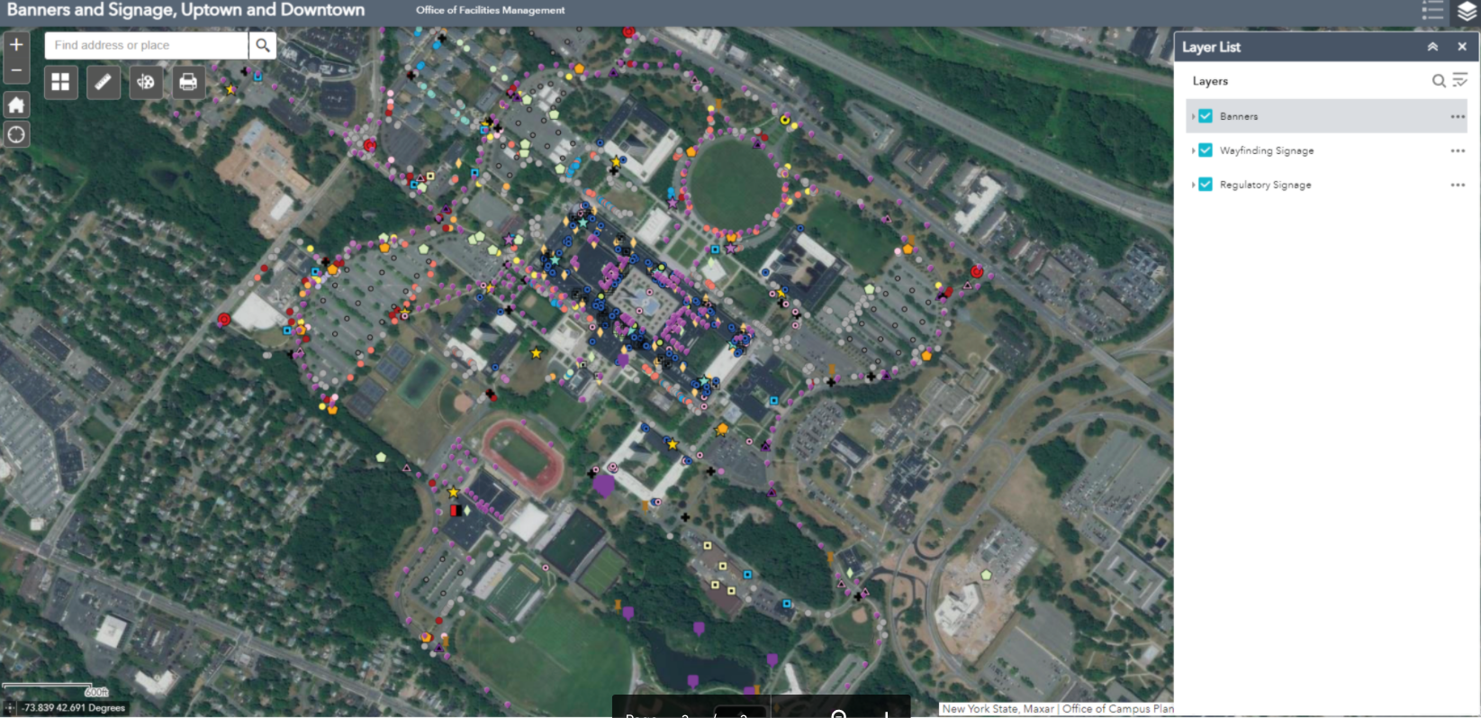
Sample Products and Applications
Poughkeepsie Rural Cemetery
The Poughkeepsie Rural Cemetery (PRC) is a 165-acre historic cemetery and certified arboretum overlooking the Hudson River in Poughkeepsie, New York. Like many historic cemeteries, the site’s data was largely paper-based, and there was a need to bring new technology and best practices into the cemetery’s operations.
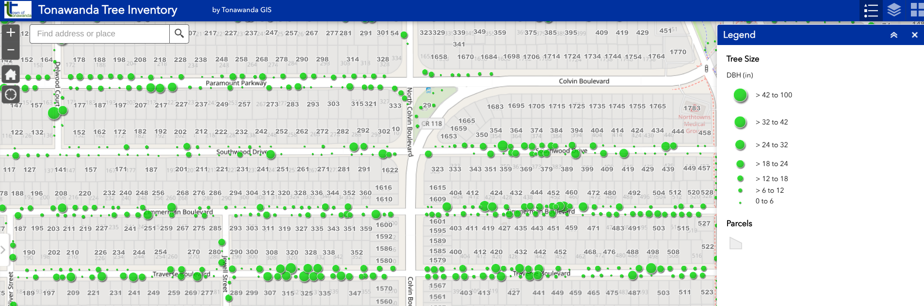
Using powerful AI tools and GIS software, LaBella converted legacy data into a digital format, authored web maps, and created a dynamic web and mobile application to enhance the visitor experience and staff workflows. The Data Intelligence team worked with the Survey & Mapping group to create a GIS base map of sections, plots, and lots. These were used in conjunction with the cemetery’s historic section maps to identify section and plot numbers. LaBella also utilized drone technology to capture high-resolution aerial imagery to further assist in the mapping and development of the GIS application.
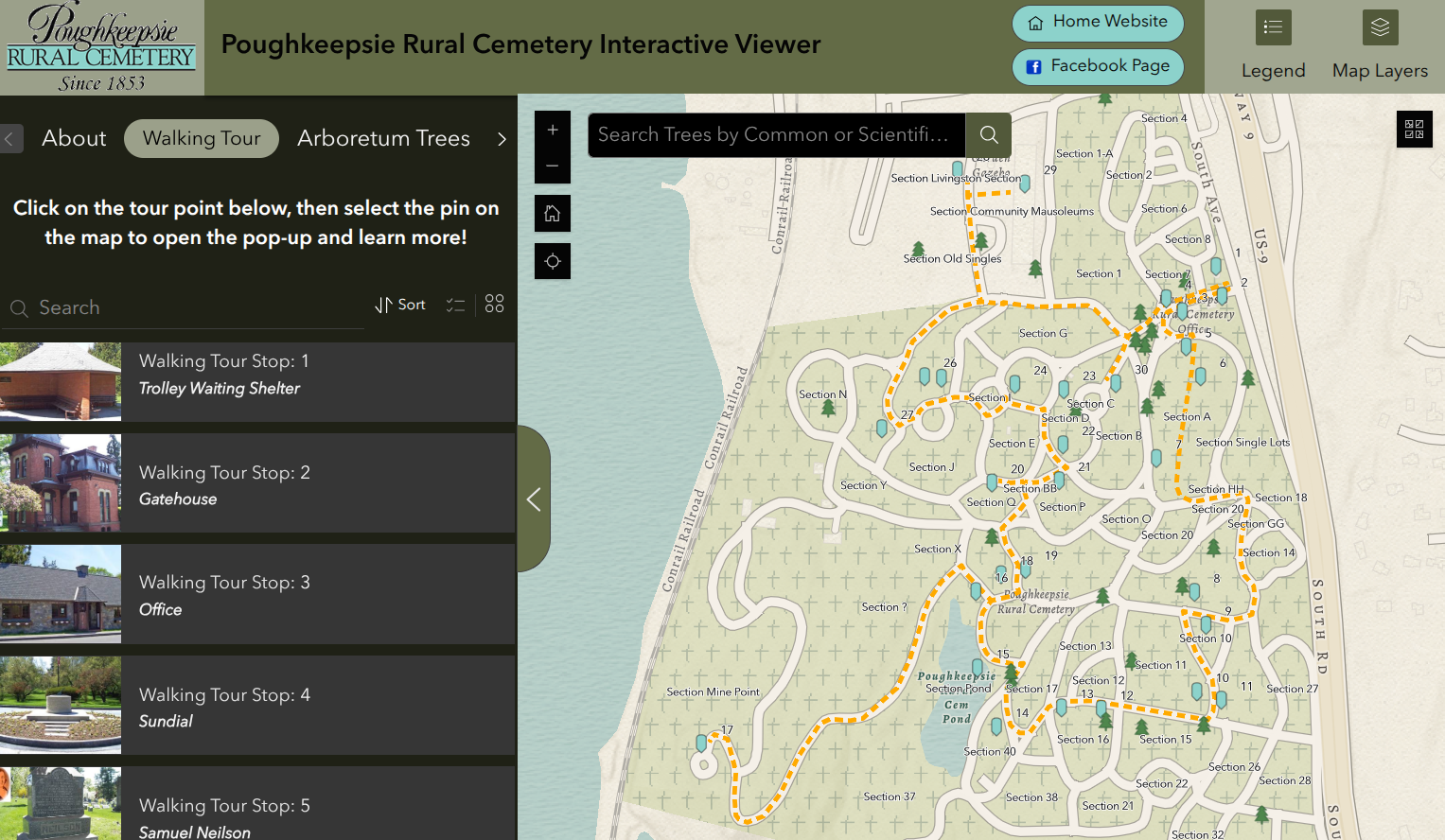
The viewer enables users to take an online walking tour of the cemetery as well as access to a comprehensive tree inventory
The application is hosted on ESRI’s ArcGIS Online platform and built using ArcGIS Experience Builder. The application allows users to navigate a walking tour, learn about notable trees, navigate the grounds, and will eventually allow for a burial records search. The public-facing application can be found here. In addition to the public-facing application, LaBella is configuring additional maps and tools for internal use to help the cemetery staff manage the sales process.
The transition to a digital format not only safeguards records from physical damage but also improves daily operations by streamlining plot management, enhancing maintenance planning, and increasing public accessibility. By bridging tradition with technology, GIS helps cemeteries preserve their legacy while meeting modern needs.
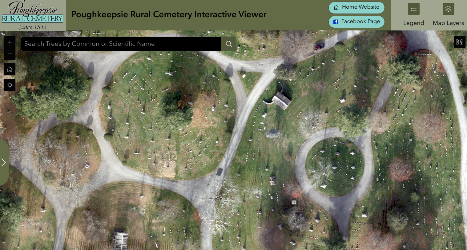
High resolution drone imagery provides a comprehensive aerial overview of the cemetery
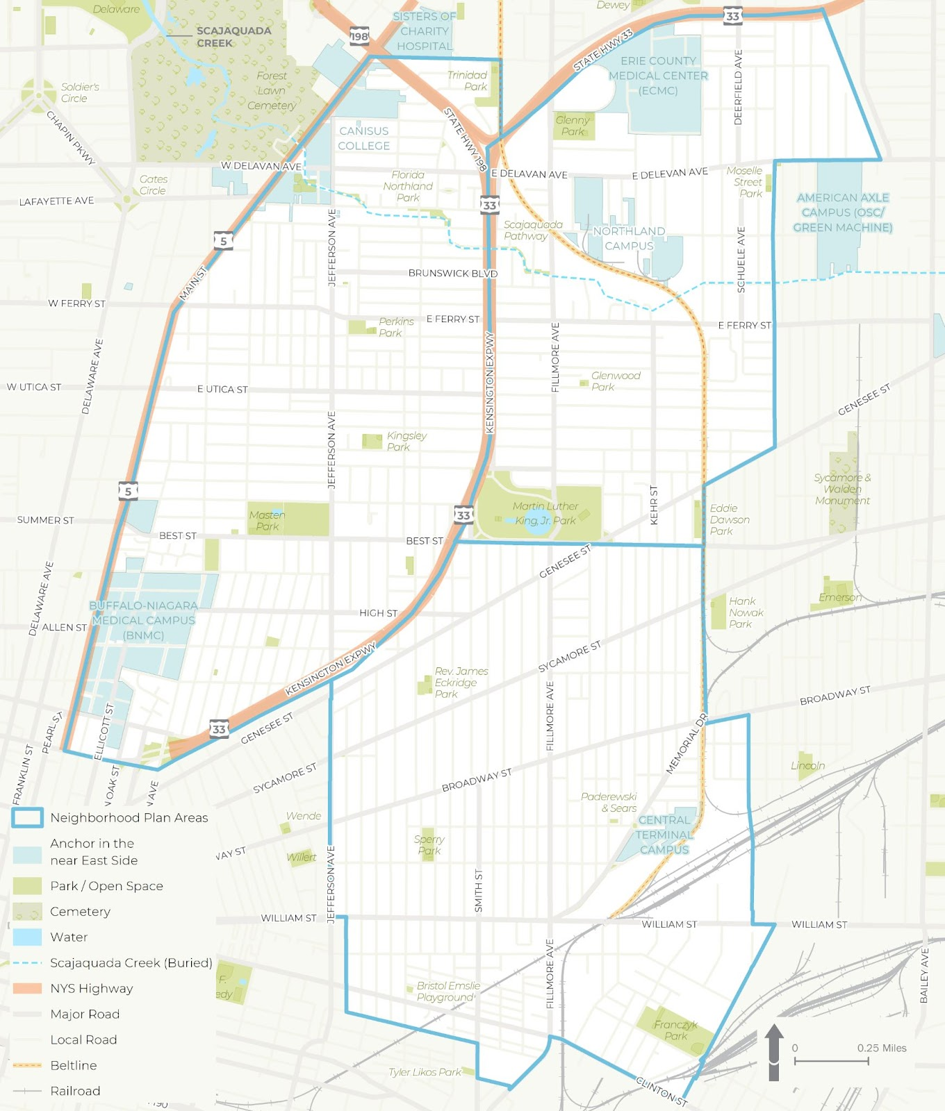
Niagara Falls Strategic Planning
The Mid-City Niagara Falls Housing and Community Assessment is a GIS-driven planning initiative that evaluated housing and community conditions in the Mid-City area of Niagara Falls, New York. Led by Niagara University in partnership with LaBella Associates and the Niagara Falls Neighborhood Evaluation Committee, the project brought together key stakeholders, including the City of Niagara Falls Planning Department, Niagara Orleans Regional Land Improvement Corporation (NORLIC), Habitat for Humanity, and Local Initiatives Support Corporation (LISC) New York.
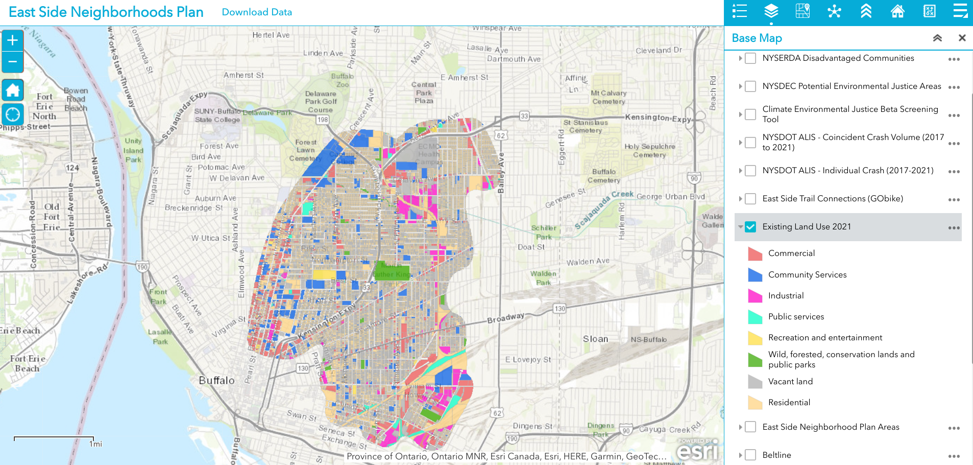
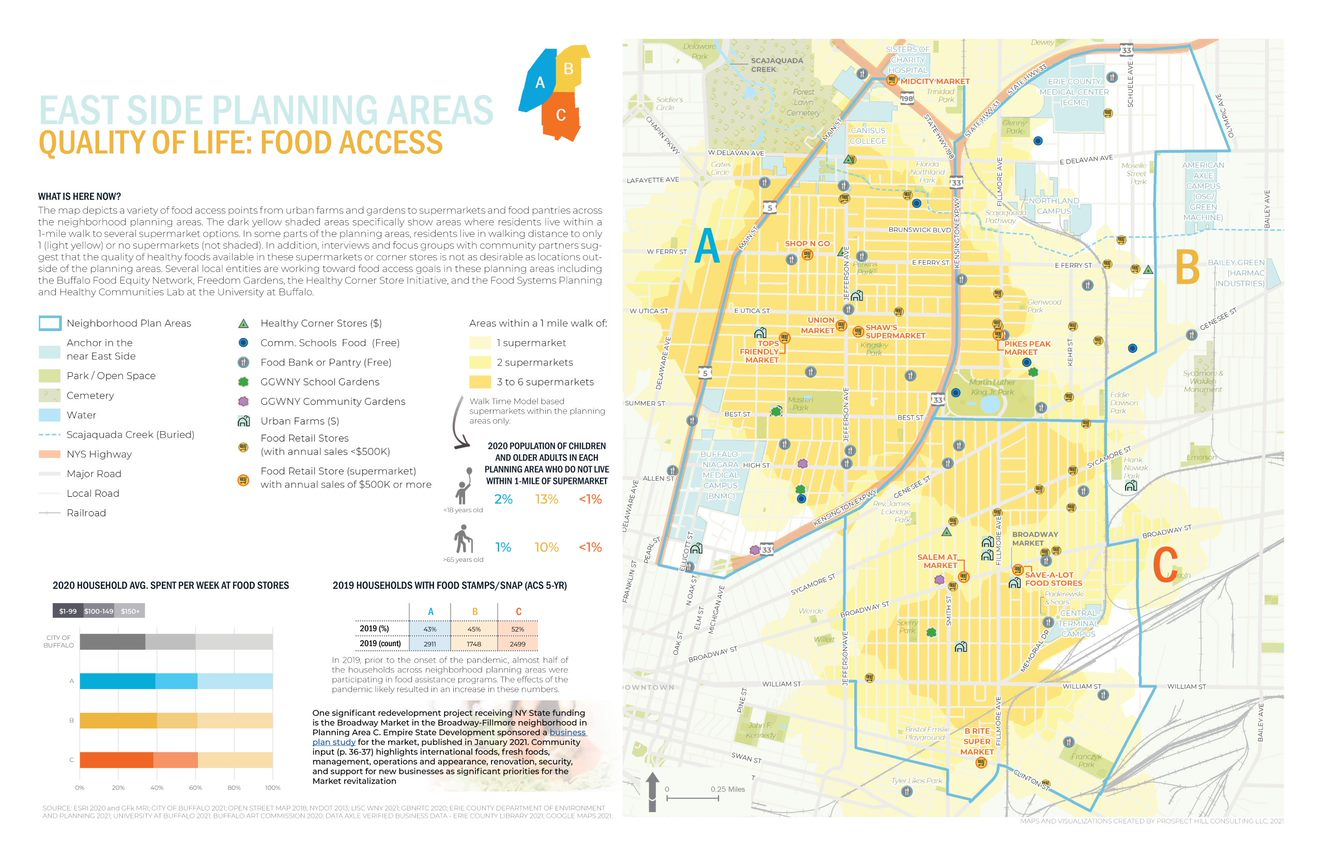
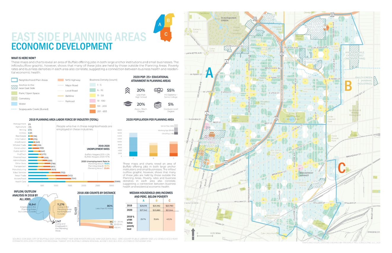
GIS was central to this effort, enabling robust data analysis, open data sharing, and interactive mapping to support informed decision-making. Through spatial analysis, the project examined demographics, land use, income, housing conditions, transportation access, and quality of life indicators. These insights helped identify development opportunities and shape actionable housing strategies.
Ultimately, the data collected and analyzed was aggregated into an interactive online community mapping tool available here. While publicly accessible, its primary function is to serve as a central repository of data for the City of Niagara Falls and its partners—providing a key resource for targeting future development and implementing a comprehensive housing strategy.
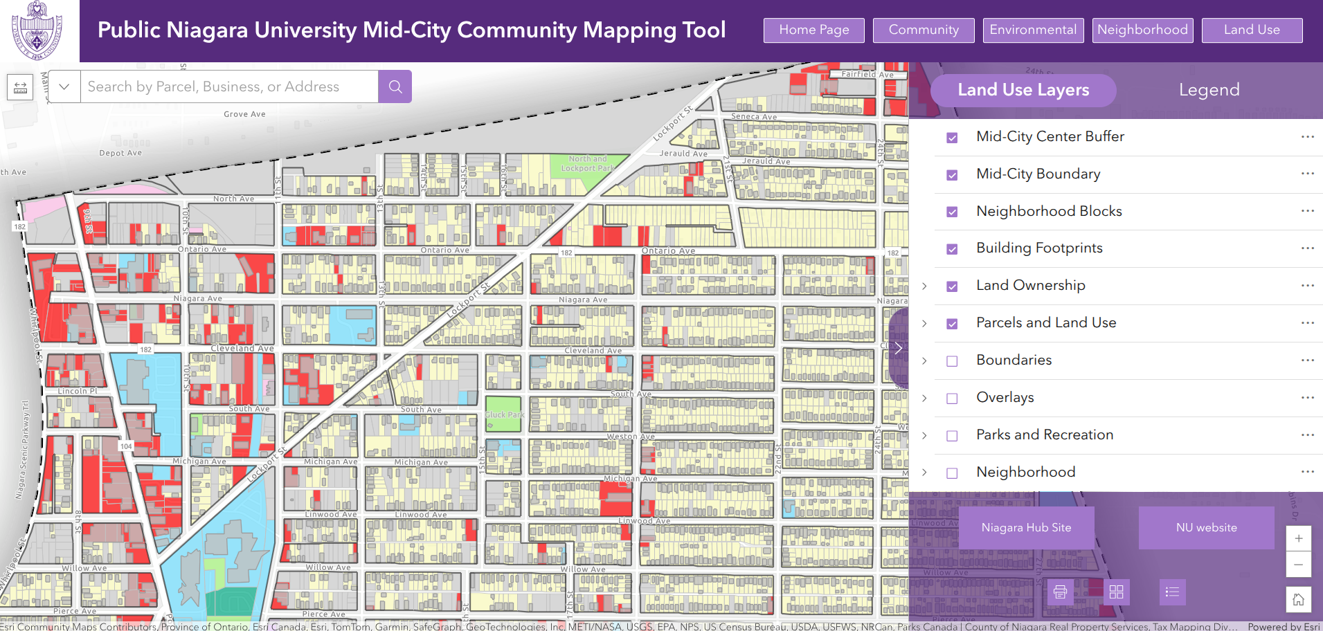
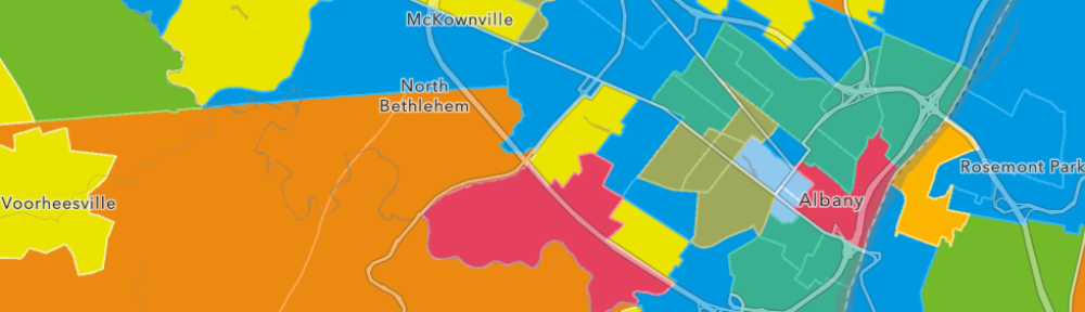
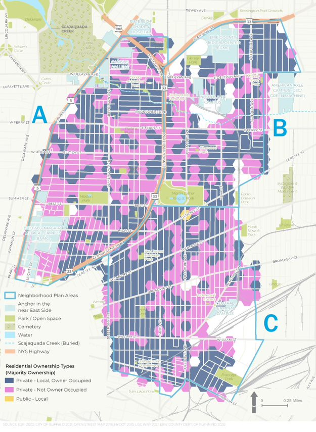
The Public Niagara University Mid-City Community Mapping Tool provides a wide range of datasets grouped into four thematic categories: Community, Environmental, Neighborhood, and Land Use
In recognition of its innovative use of GIS and collaborative impact, the Mid-City Niagara Falls Housing and Community Assessment project was honored with a 2024 Special Achievement in GIS (SAG) award from ESRI and a 2025 Best Practice Silver Award from the Western New York Section of the American Planning Association.
Municipal GIS Consulting Services
LaBella Associates provides comprehensive GIS services designed to meet the evolving needs of municipalities across New York State. From early-stage needs assessments and strategic planning to full-scale system implementation and support, the company’s experienced GIS team partners with local governments to build and sustain impactful GIS programs. LaBella provides flexible, scalable support—whether municipalities need custom tool development, staff augmentation, hands-on training, or ongoing system administration.
This expertise spans the entire GIS lifecycle, including:
Enterprise GIS Solutions
LaBella’s team has extensive experience designing, deploying, and managing ArcGIS Enterprise environments, from single-server setups to multi-machine, highly available systems. This work includes handling all aspects of GIS system administration, including user roles, security configurations, service publishing, and performance tuning— while maintaining rigorous documentation and best practices throughout.
Custom Development
LaBella’s GIS developers focus on building practical, user-friendly tools that address complex workflows. Such work includes developing custom ArcGIS Pro add-ins, automated Python tools, and full-stack web applications supporting a range of needs, including utility asset management and public outreach. The GIS team also supports non-GIS custom software solutions—streamlining data management, improving process efficiency, and replacing outdated spreadsheets with modern, secure platforms.
Utility Network Implementation
LaBella is also well-versed in ArcGIS Utility Network implementations, guiding clients through every stage—from planning and data preparation to migration and deployment. The company’s GIS team manages schema design, network rules, topology setup, and editing workflows to ensure a seamless transition—setting clients up for long-term success.
Smart Data Management
Clean, accurate data is the foundation of any successful GIS. LaBella uses tools like ArcGIS Data Reviewer, topology rules, attribute validation, and custom scripts to ensure high data quality. These fundamentals help clients identify data gaps, improve data integrity, and maintain reliable geospatial data.
ArcGIS Online and Field Data Collection Tools
LaBella’s GIS team helps municipalities set up and manage their ArcGIS Online environments with a clear structure, well-defined user roles, and custom applications—such as dashboards, story maps, and Experience Builder views—that bring data to life. The team also configures web maps and mobile tools using ESRI Field Maps and Survey123—empowering field teams to collect data with accuracy and efficiency.
Technology Designed for Real-World Results
Behind the solutions is a team of GIS analysts and developers who combine deep technical knowledge with real-world insight. Whether it’s administering an enterprise environment, automating complex workflows, building custom web maps and dashboards, or enabling real-time field data access, LaBella delivers solutions that are not only innovative but also sustainable, scalable, and client-focused. The flexible, solution-driven approach ensures each community receives the tools and guidance needed to manage and grow their GIS capabilities effectively.
Currently, LaBella’s GIS team supports more than 30 municipalities, advancing initiatives in utility management, real property data management, land management, storm water compliance, and beyond.
Contact:
Rebecca Smith, GISP
rlsmith@labellapc.com
 Bergmann is a full service, multi-disciplinary design firm employing a wide range of professionals and practitioners in the geospatial industry. The company represents four decades of a culture built on the work of client-focused experts. Its core business segments include Transportation Systems, Civil Works, Building Design, Land Development, Community Planning & Design, and Program Services. Within these areas, Bergmann’s rich portfolio of work features everything from restoration of historical landmarks, to the comprehensive bridge and highway design, to waterfront master planning. Specific client geospatial support services include: