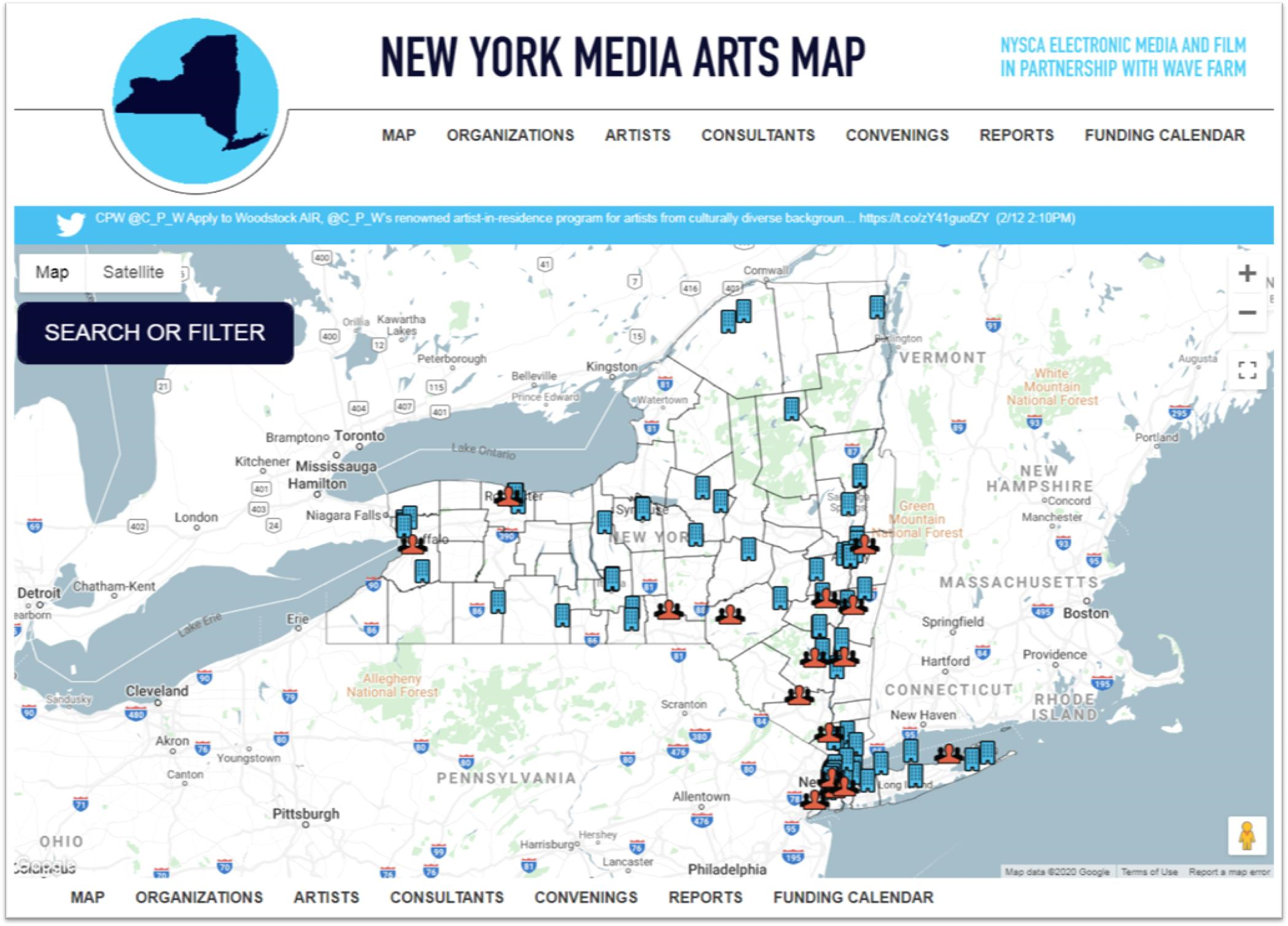
GIS applications in water quality analysis and mapping historically have not been one of the more visible uses of geospatial technology across the Empire State. While revisiting some of my contacts in the Adirondack Region, I connected with Michael Martin, CLM (Certified Lake Manager) at Cedar Eden Environmental. Michael has a long history of professional work based in the North County which intersects mapping and geospatial data collection with water quality analysis, watershed management, and land use planning. He is actively involved in several professional organizations and continues to work across the region.
eSpatiallyNewYork: How did Cedar Eden Environmental get started?
Martin: I started Cedar Eden Environmental after 16 years in the environmental field working in the public, private and non-profit sectors. I was born and raised in New Hampshire and had an interest in the environment, lakes and ponds in particular, from a very early age. I attended the University of New Hampshire when, at the time, there was no such thing as a degree in Limnology (the study of freshwater systems), so UNH co-taught limnology through the Botany and Zoology departments. While at UNH, I specialized in phytoplankton and limnology. After graduating with a BS in Botany, I was hired by the State of New York’s Department of Environmental Services in the limnology department, where I sampled numerous lakes around the state and became the State’s expert on phytoplankton. From there, I went to work for an environmental consultant in Pennsylvania. In 1992, I moved to the Adirondacks to establish the Adirondack Aquatic Institute, a non-profit research institute focused on human impacts to water quality. Over the past 30 years I have worked throughout New England, the Northeast, the Adirondacks, Mid-West and West Coast diagnosing water quality issues, conducting environmental monitoring and developing holistic, long-term water quality and aquatic plant management plans for individuals, municipalities, water suppliers, lake associations, environmental organizations, NGOs and government agencies. In addition to my business, I established a non-profit educational outreach, LakeStewardship.org, in 2006 to promote lake and environmental stewardship in North America and to serve as a resource for lake residents, lake associations, lake managers and cottage owners associations.
eSpatiallyNewYork: So lake, watershed and environmental management services are the focus of your work?
Martin: The main focus of my work is on environmental management, especially lake water quality, watershed management and aquatic plant management. What happens on the land within a watershed determines the water quality of downstream water bodies. I use a combination of data collection, data analysis and geographic data processing in the development of management plans. I also use GIS-based models and GIS-derived data to predict the impact of land use and changing land use on water quality. In addition to lake and watershed management planning, I have been involved in a number of projects that evaluate large datasets consisting of 10 to 20 years of data, where I use GIS and statistical software to analyze both temporal and geographic trends in water quality.
eSpatiallyNewYork: Tell us a little about your geospatial background and how you introduced it into Cedar Eden’s client service.
In 1980, my college advisor had an interest in acid rain impacts and got me started on creating isopleth curves for pH and alkalinity in NH lakes. This was very early GIS so I had to digitize everything on a large table-sized digitizing board, including the outline of the State of New Hampshire and the locations of each of the lakes in the state. I developed algorithms to convert point data into isopleth curves across the state. This fascinating work got me interested early on in the power of geographic tools for environmental assessment. While working for NH Department of Environmental Services I sampled lakes and built computer models to evaluate the impact of development on lakes. As a result, I was asked to serve on NH’s GIS Steering Committee. Examples of CEE’s GIS work can be found on my website.
Having grown up along with GIS, I am thrilled by the availability of data nowadays. Gone are the days when users would have to digitize everything by hand such as soil polygons from county soil books and wait overnight while our computers geo-rectified and created topology for the digitized layers (and hope the application didn’t crash during the night). I have been using ESRI products since the beginning, starting with ArcCAD and some early desktop mapping products. I was one of only 100 worldwide recipients of the Geodyssey Environmental GIS research Grants sponsored by ESRI & AuotDesk for using desktop GIS technology in environmental applications. As recipients, we were brought to Redlands, CA for training at ESRI headquarters. Currently, I am using ArcGIS 9.x and use readily-available base data as the starting point for my projects. I have not upgraded to ArcGIS 10 although I have used ArcGIS 10 while working on subcontracts. I use standard GPS (Garmin Oregon 650t) and GPS-enabled depth finders (Eagle/Lowrance Model 480 Recording Sonar\GPS+WAAS Mapping Unit) for data collection since I generally do not need sub-foot accuracy for my projects. I have been involved in several projects requiring more accuracy and have subcontracted for digital surveying and digital topography from aerial photography. In my space, the use of drones has the potential to assist in efforts like aquatic plant mapping.
eSpatiallyNewYork: How does water-based (surface, submerged, etc) geospatial data collection differ from land based data collection?
Martin: Geospatial data collection for water-based applications is similar to land-based applications, though it tends to be more time-consuming. On land, you are able to stand still while acquiring data but this is not possible while floating on a lake. This is an area where I believe there will be growth in the use of drones – mapping features (like aquatic plants) in open water. Generally, however, because we do not need sub-foot accuracy, we are able to acquire data while moving. For instance, to create a bathymetric map, we use a GPS-enabled fathometer that continuously records water depth and location. The same system can be used to map the edges of a littoral zone (area of plant growth) of a lake by driving a boat towards and away from land and triggering a waypoint each time the edge of the littoral zone is passed over.
eSpatiallyNewYork: Cedar Eden has been involved in some focused non-watershed/water quality mapping projects such as agricultural inventories – what can you tell us about these projects?
Martin: CEE has been involved in a number of non-watershed mapping projects. In Fulton County, we provided mapping for use in the development of an updated county-wide agricultural management plan. In Lewis and Columbia Counties in the early 2000s, I created master GIS libraries and provided on-site GIS training for their County Soil & Water Conservation Districts (SWCD). Columbia County SWCD was particularly interested in the Hudson River Valley, so I also created a detailed topographic and resource-based map of the Hudson River Valley. The Town of Santa Clara is close to my office in Saranac Lake and is adjacent to one of the largest Adirondack lakes which I have studied for years. In the mid-1990s I was asked by the Town to prepare a new zoning map for them. I saw this as a perfect opportunity to utilize GIS for its data management and mapping capabilities. I worked with the Town Supervisor to transform the Adirondack Park Agency land use map into town-based zoning.
eSpatiallyNewYork: Cedar Eden was part of a Statewide Agricultural Environmental Management (AEM) GIS project. What was the size/scope of this project?
Martin: The Statewide AEM program is a tool used by the County SWCDs to monitor and assist agricultural activities within their respective counties with the goal of minimizing environmental impact. I was hired by NYS Department of Agriculture and Markets and the NYS Soil & Water Conservation Committee early on to develop a GIS-based data entry and management system so that each county could track AEM participation using GIS and so that the State could evaluate statewide trends in AEM. I built customized GIS base layer datasets for each county, created a data entry system using Visual Basic and then traveled around the State teaching the counties how to use the new program. I also collated all of the initial data into a statewide GIS and provided the initial statewide analysis of the results from the program. The AEM program is still in use today, tracking agricultural entity’s participation in various incentives designed to minimize the environmental impact of agricultural activities.
eSpatiallyNewYork: You’re involved in professional organizations such as the North American Lake Management Society, New York Federation of Lake Associations, Certified Lake Managers, what is the role of geospatial technologies in these circles/organizations? Is geospatial a “must-have” skill set to work in water quality/watershed management disciplines?
Martin: Involvement in relevant organizations is important to both gain and share knowledge. I was past-president of the North American Lake Management Society (NALMS), past Regional Directors for NALMS and the New York Federation of Lake Associations and was a founding member of the Indiana Lake Management Society. I am a Certified Lake Manager through NALMS. Early on, geospatial technologies were experimental and research-based. Over time, as the technologies matured, and the usefulness of their application became apparent, geospatial technologies began to move into the fields of limnology and watershed management; and therefore knowledge of these technologies became known. GIS/geospatial are must-have skills for anyone wishing to start out in the environmental fields as geospatial information & analysis are important and pervasive tools in environmental management. There is virtually no application of applied limnology or applied environmental management where geospatial information is not processed. Citizen scientists are now being taught the use of geodata collection and geospatial mapping in order to conduct their own mapping of aquatic plants and map the locations of invasive species.
eSpatiallyNewYork: Invasive species is a major concern across the Empire State today. How is this playing out in your work?
Martin: I have been involved with invasive species since I graduated in 1984. Invasive species issues have always been a concern in the northeastern United States, but where we once were projecting what might happen we are now dealing with the realities of those projections. Invasive species are a present threat to much of what we value as natural systems, both aquatic and terrestrial. CEE work focuses primarily on the aquatic side and I am asked to deal with aquatic plant management planning more and more. It is hard to get folks to focus on much else when they see their lake being covered by Eurasian milfoil or some other aquatic non-native species. Invasive species alter the entire ecosystem, including nutrient cycles, within a lake and managing invasive species becomes an integral part of overall lake management. I work with a number of lake communities now who are attempting to restore a balanced aquatic plant community because they relied on the advice of lake management companies which over-treated the lake and had all of their native plants wiped out along with the non-native (invasive) species.
eSpatiallyNewYork: Do you attend any of the statewide GIS conferences?
Martin: I do not regularly attend GIS conferences. I have attended these in the past but found that the focus was not generally in my area of interest. However, I do have information to share on the use of GIS in environmental management and will look into future conferences. However, when I attend regional, state and international environmental conferences, I follow and often contribute to the GIS & geospatial tracks. These conferences include the North America Lake Managements Society’s (NALMS) International Symposium, the New York State Federation of Lake Associations’ annual conference, the New England Chapter of NALMS and others.
eSpatiallyNewYork: What’s your association with the Adirondack Watershed Institute? What other organizations do you work and collaborate with in the Adirondacks?
Martin: In 1991, I was the founding Executive Director of the Adirondack Aquatic Institute at Paul Smith’s College. When I left in 2000, the institute was renamed the Adirondack Watershed Institute (AWI). Today, I am only tangentially involved with their operations and occasionally utilize their water quality laboratory for projects. I continue to stay active with the Adirondack Lakes Alliance as well as the NYS Federation of Lake Associations and the various NYS Partnerships for Regional Invasive Species Management (PRISM).
eSpatiallyNewYork: Who are you working with now?
Martin: I have a number of municipal and association clients. On the lake management side, one of my longest running clients is the Mount Arab Preserve Association. I have been monitoring their two lakes since 1992 when I was at the Adirondack Aquatic Institute. They have stuck with me through all my career moves and we will be starting up our 27th year of monitoring this June. On the geospatial side, I am once again working with the Town of Santa Clara. The Planning Board has asked me to update the Town’s zoning map. When the map was initially created using the APA land class map, there was no parcel information and the scale of the source maps were to great for any accuracy. The Town had an issue when a property was being sold and it wasn’t clear from the existing maps what the zoning was (the parcel appeared to be split into two zones). As a result, I am in the process of using parcel maps to ensure that zoning is accurate at the parcel level. This is an iterative process, involving GIS mapping and then consultations with the Planning Board to resolve issues where the intended zoning isn’t clear at parcel-level scale. I also have a number of lake and plant management planning clients, primarily located in eastern NYS.
eSpatiallyNewYork: What’s the next big thing in New York State water quality?
Martin: In addition to invasive species, climate change is having a noticeable detrimental impact on the water quality of NYS’s lakes and ponds. Lakes are becoming warmer in the summer and the ice-free season is becoming longer. As a result, I see more and more lakes experiencing blooms of cyanobacteria (bluegreen algae) which are potentially toxic. Managing nutrient levels that control the growth of algae and managing aquatic plants (native and non-native) become more critical as the waters warm and the growing season lengthens. This can only be done through a combination of in-lake and land-based solutions to nutrient pollution control. It is critical that lake associations and municipalities begin to manage water quality in the long-term using a planning-based approach rather than in the short-term, using chemicals to treat symptoms. The latter approach may provide short-term relief, but it further destabilizes the ecosystem, causing chemical-dependency and additional water quality problems.
For more information, contact Michael Martin @ mmartin@cedareden.com.
Like this:
Like Loading...
 Bergmann is a full service, multi-disciplinary design firm employing a wide range of professionals and practitioners in the geospatial industry. The company represents four decades of a culture built on the work of client-focused experts. Its core business segments include Transportation Systems, Civil Works, Building Design, Land Development, Community Planning & Design, and Program Services. Within these areas, Bergmann’s rich portfolio of work features everything from restoration of historical landmarks, to the comprehensive bridge and highway design, to waterfront master planning. Specific client geospatial support services include:
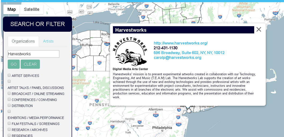
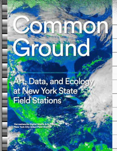 The report was published by the Harvestworks Digital Media Arts Center and
 EagleHawk was founded in 2016 by