Northbound New York State Northway Exit 20 leads to the Town of Queensbury which is the seat of Warren County. With a 2010 population of 27,901 the town covers nearly 65-square miles including shoreline along Lake George and lands within the Adirondack Park. Further into town, several of the usual NYS town government program offices are located at 742 Bay Road including staff and resources which support the town’s geographic information system (GIS).
GIS Background
Prior to 2002, Queensbury officials had worked with consultants to establish initial GIS capacity including the creation of ArcIMS applications and investing in multiple ESRI desktop licenses. In 2002, the town’s GIS initiative changed significantly with the hiring of George Hilton. Hired as a GIS Specialist and planner, George was brought onboard to build and advance the town’s GIS program.
Prior to arriving in Queensbury, George had honed his GIS skills while a student at Central Connecticut State University and later in government positions in the Denver and Kansas City areas as well as three years with Westchester County. Now, 15-years after his arrival, George oversees a program which can be considered an exemplary NYS municipal government GIS program.
Current Queensbury Geospatial Products and Infrastructure
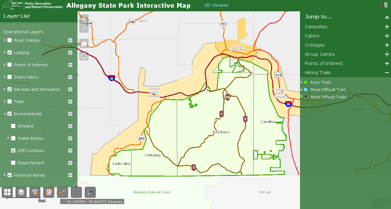
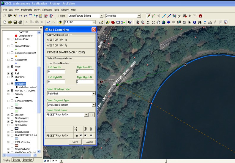
George designs, codes and maintains the Town’s Interactive Mapper (Firefox and IE only) and a host of other ArcGIS.com map viewers including Fire and EMS, Planning and Zoning, and Phase II Stormwater Infrastructure. He also supports emerging mobile mapping and data collection efforts which includes Trimble GPS units with Trimble Positions to collect data and update feature services and Geodatabases in the field. The town also collects data (hydrant inspections, site inspections) with ArcGIS Collector using feature services and make maps available through ArcGIS Online.
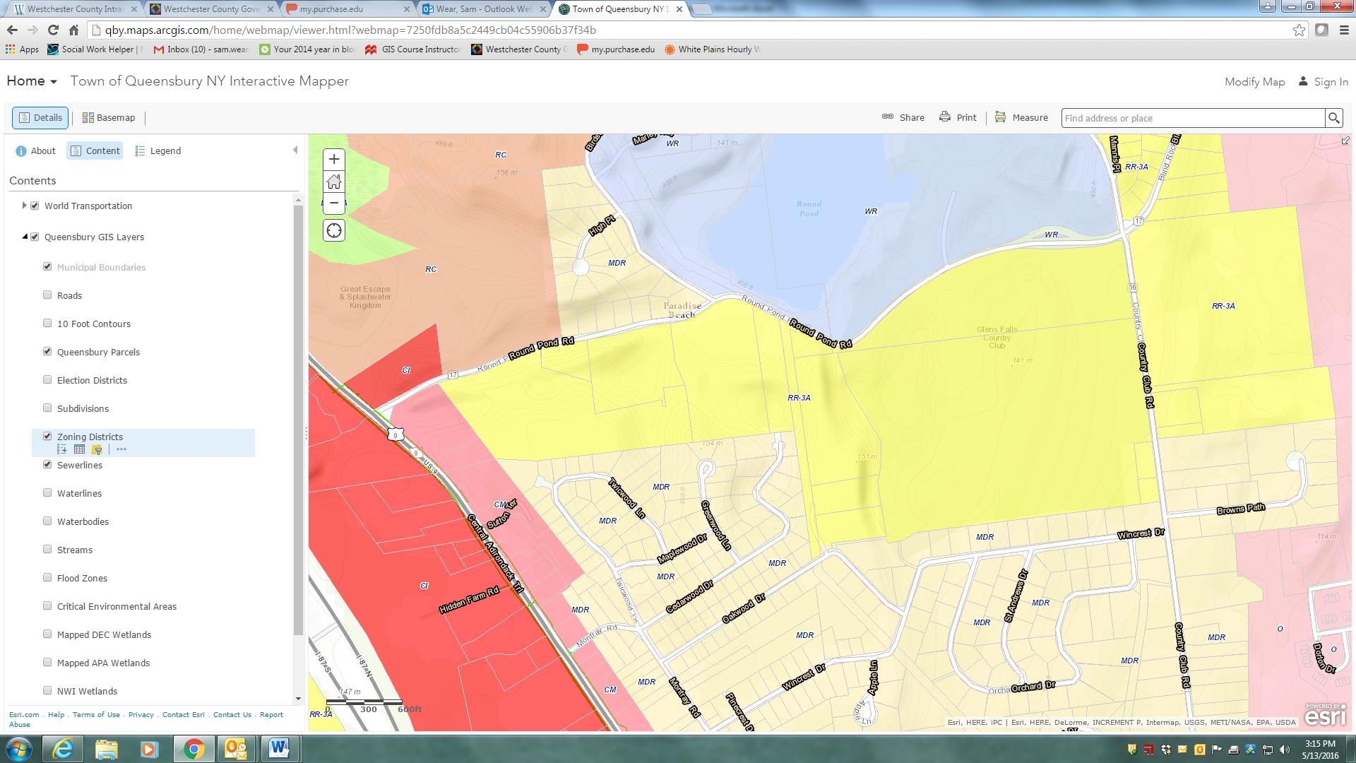
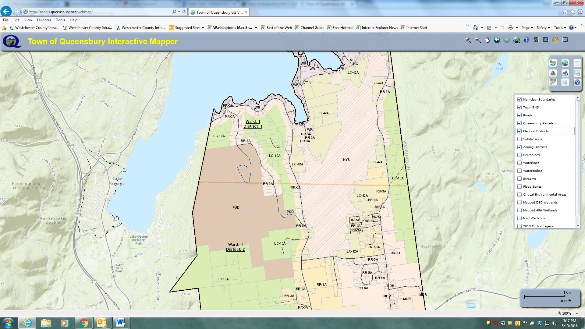
The Town of Queensbury Interactive Mapper includes many locally developed datasets as well as data from other authoritative sources including Warren County, NewYork State and the Adirondack Park Agency.
Other software components – much of which has been self-taught – George uses inlcludes Sybase (RPS) and SQL Server with ArcSDE as well as ArcGIS Server, ArcSDE, ArcGIS (Advanced), and Spatial Analyst. The town is currently at ArcGIS Server 10.22 and are testing 10.4 with plans to upgrade very soon. He also works with QGIS and Global Mapper from time to time. Global Mapper has been particularly helpful in importing updated USGS topo quads (DRGs) in GeoPDF format into our GIS.
The Queensbury GIS program has grown from primarily providing support to the Planning Department to becoming a very important resource for many departments across town government. Both the Town Board and Town Supervisor are very supportive of GIS and recognize how much of an important tool GIS has become to the Town.
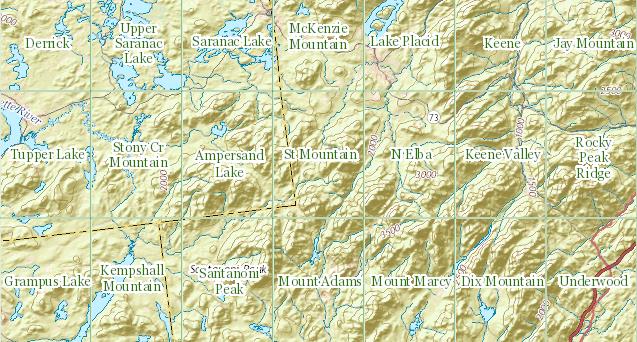
Parts of the Town of Queensbury is actually within the Adirondack Park and therefore subject to stringent land use regulations. This image highlights zoning districts on the southeastern shore of Lake George – within the park boundaries.
George maintains an excellent working relationship with Warren County GIS which is under the direction of Sara Frankenfeld where he obtains parcel data. The town creates town-wide datasets (zoning, subdivisions, hydrants, infrastructure, environmental, street centerlines, address points, etc) which are then shared back with the County. Referencing her ongoing GIS work with Queensbury, Sara explains:
“George is great to work with and especially in a rural environment where we don’t have any other full-time GIS staff within our respective local governments, it’s so helpful to have a colleague to bounce things off. He’s a very good sounding board and when I’m considering starting a new project, I often call to get his thoughts.
We’ve worked closely together on a number of projects. We recently worked together to streamline the way e-911 addresses are assigned, and this has been a huge improvement to workflows in both of our offices, as well as in the Real Property office, the zoning/building inspectors departments, and the assessors’ offices
Our current cooperative project is a NYS Archives LGRMIF grant funded project to make the SAM data, along with information about truss roofed structures (as required by a NYS law that went into effect 1/1/2015), and other relevant data such as hydrant locations, available to first responders via an Android/iOS app”.
George also works closely with several state agencies including the Adirondack Park Agency, NYS Parks and Historic Preservation, NYS Department of Environmental Conservation, and NYS Information Technology Services (ITS). Queensbury Town Supervisor John Strough adds:
“Like today’s computers, I do not know how we lived without him. His GIS services have helped us map the town’s infrastructure structures, trail systems, historic places and many other location details that we absolutely need to comply with the needs of today’s municipal world. I am in his office requesting his services almost as often as am in my budget officer’s office, that’s how important GIS services have become to the town.“
Broad User Base
The town enjoys a wide user base including ESRI desktop clients in Planning, Water and Sewer, Assessor, and Parks departments though George is commonly called upon to assist in more detailed data creation, analysis, and cartographic products throughout town government. He also provides training for users in many local, regional and statewide agencies including the Warren County Soil and Water Conservation District, the Champlain Watershed Improvement Coalition of New York, and the NY State Conservation District Association at their statewide conference in Auburn and Syracuse.
Additionally, George provides maps and data analysis for many community groups, nonprofits, schools, as well as for other municipalities and quasi-governmental agencies in the area. Queensbury if one of the few municipalities in the area with a GIS program and is often asked to provide support throughout the area.
Creating More Queensbury GIS Programs
While George brought years of GIS experience to the town when accepting the job, his ability to advance the town’s GIS program has certainly been augmented by ongoing political and administrative support. Such combination of experience, competitive salary, technical skills and political support is often hard to replicate – or even find for that matter – in small town governments across the Empire State.
The Town of Queensbury GIS program speaks to the importance of educating elected officials in the benefits and importance of investing – both financially and institutionally – in the role of geospatial technologies in small town governance. While the Queensbury GIS solution might be considered a typical for similar-sized communities across the state, it nonetheless can be a model for the GIS community to aspire to and replicate.
Visit the Town of Queensbury website at http://www.queensbury.net or George Hilton directly at GeorgeH@queensbury.net.